
Long Beach, CA Live Wildfire Smoke Map
Get Alerts For Wildfires In Your Area
The moment a wildfire starts near you, you'll get an instant alert and simple tips to reduce your smoke exposure.
What's In The Smoke
30xSmaller than a human hair
Fine enough to reach deep into the lungs. A MERV 13 is built to capture it.
How Far It Travels


It Doesn't Stay Local
Smoke rides the wind far downwind — you can get smoky air with no fire nearby.
What To Do During A Smoke Event
Simple steps to reduce indoor exposure.
- Stay In, Close UpShut windows and doors to keep smoke out.
- Set Fan To "On"Keeps air cycling through your filter, not just when heating or cooling.
- Recirculate AirSwitch off fresh-air intake so you're not pulling smoke in.
- Run A MERV 13Built to capture the fine PM2.5 in smoke.
- Add A PurifierExtra filtration for the room you use most.
- Wear an N95 if OutsideFits snug to block fine particles — a cloth mask won't.


The Best Air Filter For Wildfire Smoke
During smoke events, the EPA recommends upgrading to a MERV 13 filter — or the highest-rated filter your system can handle — to help reduce the fine particles smoke brings indoors. MERV 13 is the level most home HVAC systems can run while still capturing PM2.5, the fine particulate that makes up the bulk of wildfire smoke.
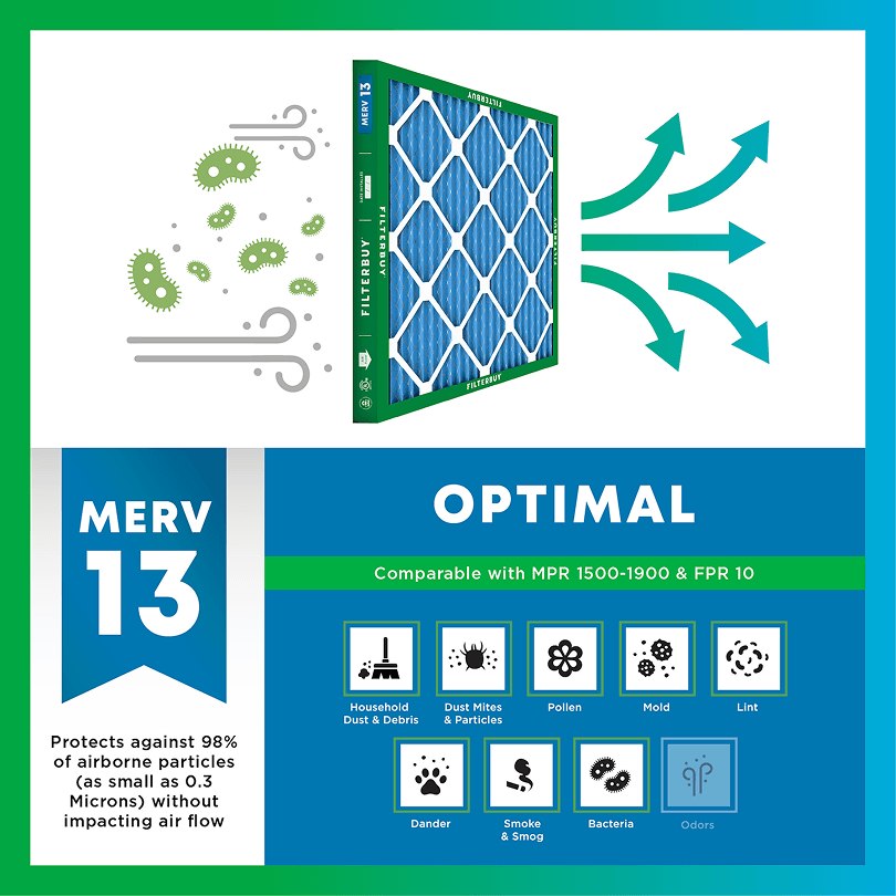
- Captures PM2.5 particles
- Blocks ash, soot, and smoke odor
- Keeps your indoor air safe—even when the outdoor air is dangerous
- Meets the EPA's recommended rating for filtering fine wildfire smoke particles.

Wildfire Smoke FAQs
Facts About Wildfires
Over 70,000 wildfires burn in the U.S. every year.
Wildfire smoke can travel 1,000+ miles, affecting states that aren't even near the blaze.
Exposure to wildfire smoke can worsen asthma, trigger heart issues, and lead to ER visits.
Indoor air can hold more fine particles during wildfire events unless it's properly filtered.
The EPA advises using MERV 13 filters or portable HEPA air cleaners during wildfire smoke events.
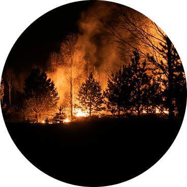
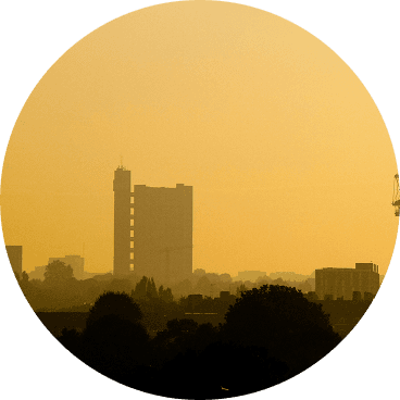
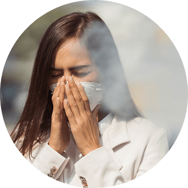
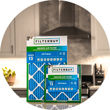
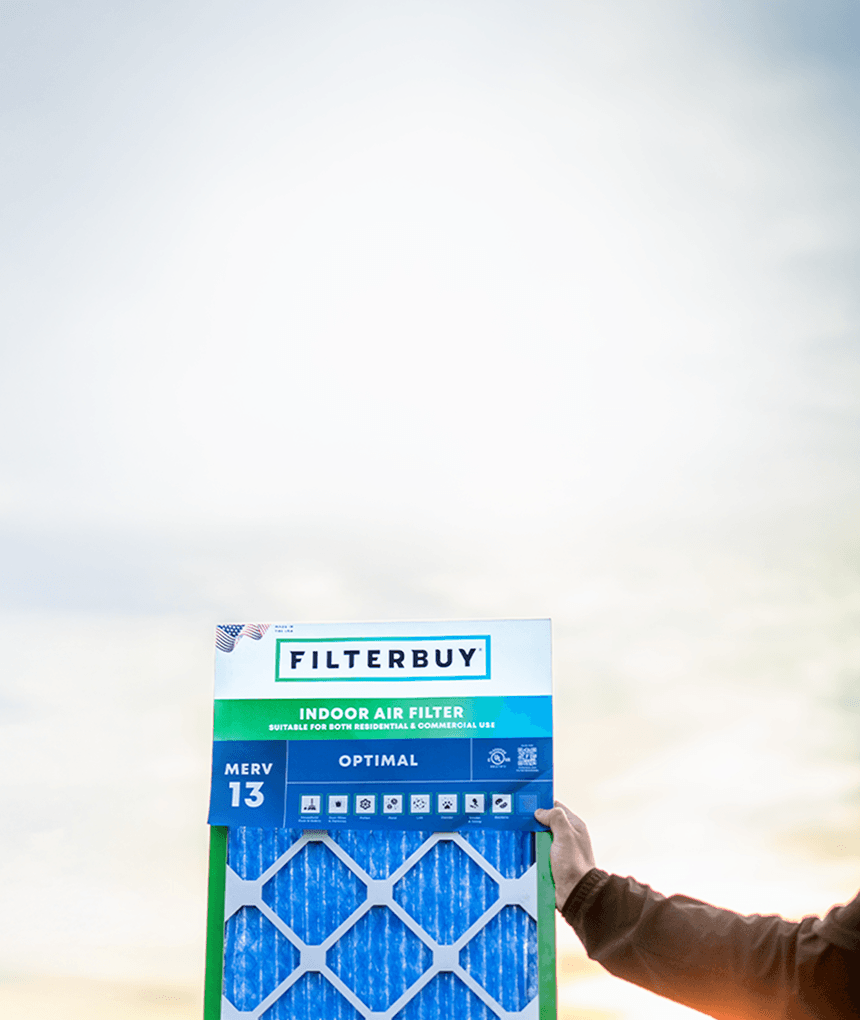
Don't Wait Until The Smoke's Inside.
Use the live wildfire smoke tracker and upgrade your air filters today to protect your lungs and your home.
Shop Filters For Smoke Protection
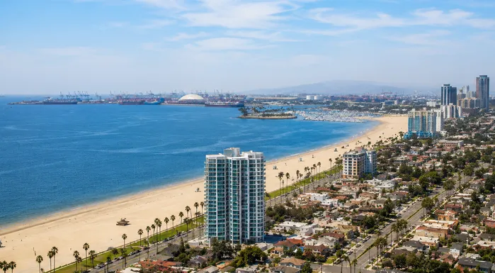
Current Live Wildfire and Smoke Map Long Beach California Today From Filterbuy.com
By the morning of January 8, 2025, ash from fires burning thirty miles north was settling on patio furniture in Belmont Shore and Bixby Knolls. The Palisades, Eaton, and Hurst fires never crossed into Long Beach city limits, but the smoke they produced sat over the city for the better part of a week.
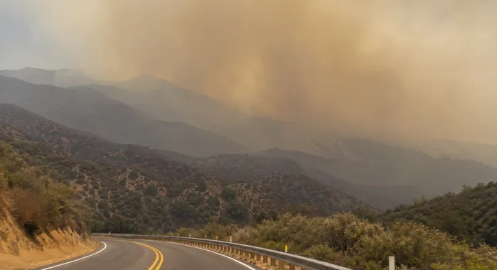
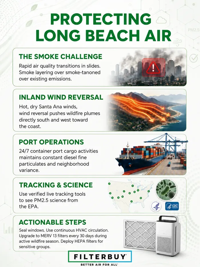
That's the Long Beach fire-season pattern. When Santa Ana winds reverse the usual onshore flow, plumes from the Angeles National Forest, the San Bernardino Mountains, or the canyons above Orange County push south and west, and Long Beach inherits the air. The live map above tracks active fires, plume direction, and current PM2.5 readings across the region. The indoor-air guidance below is built for what Long Beach households actually deal with, not generic California advice.
TL;DR Quick Answers
Short answers for anyone who landed on this page looking for a fast check.
Live map. The embed at the top of this page tracks active fires and smoke plumes across the region. Cross-check with the AirNow Fire and Smoke Map for neighborhood-level PM2.5.
Current AQI for Long Beach. Pull your block-level reading from the AirNow map instead of the city-wide number. South Long Beach can read meaningfully higher than Belmont Shore or Bixby Knolls on the same day.
If smoke is visible or PM2.5 is over thirty-five micrograms per cubic meter. Close the windows, switch your HVAC to circulate, run a portable HEPA in the main bedroom, and swap to MERV 13 if your system supports it.
If you're in a sensitive group like asthma, heart condition, pregnant, child, or older adult. Respond at a lower threshold. Yellow on the map is your action threshold, not orange.
Active fire incidents. Use the CAL FIRE incidents page for state-jurisdiction fires and InciWeb California for federally managed land. Both are linked in the Resources section below.
Top Takeaways for Long Beach Households
Long Beach smoke events almost always come from fires burning thirty to forty miles inland in the Angeles National Forest, San Bernardino Mountains, or the canyons above Orange County.
Santa Ana wind reversals push those plumes south and west toward the coast, which is why a fire in Long Beach, CA, news alert can arrive hours after the inland incident.
Port of Long Beach activity keeps a steady baseline of ground-level pollution running before any wildfire smoke shows up. The trip from Moderate to Unhealthy happens faster here than in coastal cities without a major port.
Neighborhood matters. South Long Beach near the harbor often reads differently from Belmont Shore, Bixby Knolls, or North Long Beach on the same afternoon. Check your block, not the city average.
During an active smoke event, run the HVAC fan on continuous circulation, close fresh-air dampers if your system has them, and put a portable HEPA in the room where people sleep.
MERV 13 filters capture the PM2.5 size range that defines wildfire smoke. Plan to change them once a month during active smoke periods instead of every ninety days.
Sensitive groups, including children, older adults, pregnant residents, and asthma or heart-condition patients, start feeling effects at lower AQI thresholds. The yellow band on the map isn't safe air for these households.
Register for Alert Long Beach now, not during the next event.
Why Wildfire Smoke Reaches Long Beach Even When the Fire Is Inland
Most Long Beach residents who lived through the January 2025 fire week now know what a Santa Ana reversal does. The basic pattern is worth knowing. Long Beach's usual wind flows onshore, with cool marine air coming in off the Pacific and pushing inland toward the foothills. A Santa Ana flips that. Hot, dry air from the high desert pours through the mountain passes and runs the other way, west and south toward the coast. Anything burning in that air column rides the wind all the way to Long Beach.
Long Beach itself doesn't have much vegetation to burn, so the fires that send the city scrambling for filters are almost always upwind events. They start in the Angeles National Forest, the San Bernardino Mountains, the canyons above Orange County, or anywhere else a Santa Ana can reach. A wildfire releases fine particulate matter that travels surprisingly far in the right wind, which is why a smoke map, Long Beach, CA, today often shows haze settling across the basin from blazes burning miles beyond visual range.
How Port Activity Shapes Your Baseline Air Quality
There's a reason the air outside your home in Long Beach rarely starts from zero. The Port of Long Beach and its neighbor in San Pedro form the busiest container port complex in the country, and the operation runs around the clock. Diesel cargo trucks, harbor craft, locomotives shifting rail cars, and yard equipment all push fine particulates into the air before wildfire smoke ever arrives. On a clear day, the South Long Beach monitor near the harbor often reads higher than the Bixby Knolls monitor several miles inland.
When wildfire smoke arrives, it stacks on that baseline. The AQI trip from Moderate to Unhealthy for Sensitive Groups happens faster in Long Beach than it does in coastal cities without a major port. The South Coast AQMD and the two ports have signed cooperative agreements to push toward zero-emission cargo equipment and harbor craft, and that work is genuinely underway, but the transition takes years. In the meantime, the cumulative load is the variable that matters when you're deciding whether to keep the windows open during a fire near Long Beach, CA, or further north.
What This Means for Your Indoor Air
We've shipped filters to Long Beach addresses long enough to see a pattern in the reorder data. The first big push lands during the November-to-January Santa Ana window, when MERV 13 orders from Naples Island to North Long Beach go out the door two or three at a time. The second hits during summer ozone season, when smoke from inland fires settles on top of the heat dome and the South Coast AQMD starts issuing back-to-back advisories.
What that means for your house is simpler than it sounds. If your HVAC system can handle MERV 13, run MERV 13 from October through May, and swap the filter once a month during active smoke events instead of every ninety days. When the air outside turns, switch the system fan to continuous circulation, close the fresh-air damper if your unit has one, and put a portable HEPA in the room where the kids or the older household members sleep. For the daily check on what's actually outside your door, check Long Beach's current AQI map alongside the live wildfire and smoke conditions at the top of this page.
During the January 2025 fires, Long Beach filter orders tripled in forty-eight hours, almost all of them from zip codes downwind of the Eaton and Palisades footprints. The households that already had a MERV 13 on the shelf were the ones not scrambling for stock when the smoke hit. We've come to recommend keeping at least one spare from October through May for any Long Beach household within ten miles of the coast.
— Filterbuy Team
Bookmark These Seven Resources for Live Long Beach Wildfire and Smoke Tracking
Every link below has been verified live at publication. Each one earns its place because it answers a specific question a Long Beach household asks during a smoke event, and together they cover the full picture from fire location to neighborhood-level PM2.5 to evacuation alerts.
1. CAL FIRE Active Incidents
What it provides: A live statewide list of every active wildfire over ten acres on CAL FIRE jurisdiction, with perimeters, containment percentages, and evacuation orders.
Why we recommend it: This is the feed every California TV station and newsroom pulls from during a fire event. When you want one source for whether there's an active fire near Long Beach, CA right now, start here.
Resource: https://www.fire.ca.gov/incidents/
2. AirNow Fire and Smoke Map
What it provides: A live PM2.5 layer that combines EPA regulatory monitors, PurpleAir community sensors, and satellite-detected smoke plumes, all overlaid on active fire locations across North America.
Why we recommend it: This is the tool we open first whenever we need a current smoke map, Long Beach, CA, at the neighborhood level. South Long Beach reads differently from Belmont Shore on most smoke days, and AirNow shows the gap clearly.
Resource: https://fire.airnow.gov/
3. South Coast AQMD Air Quality Advisories
What it provides: Active smoke and air quality advisories for the four-county South Coast basin, including Long Beach, with forecasted impact windows and affected geographies.
Why we recommend it: When the City of Long Beach sends out a press release about poor air quality, this page is the underlying source. South Coast AQMD is the regulatory body that issues every official Long Beach smoke advisory, and the advisory text often names specific freeway corridors and neighborhoods.
Resource: https://www.aqmd.gov/home/air-quality/air-quality-advisories
4. InciWeb California State Map
What it provides: Federal incident reports for fires burning on national forest, BLM, and other federally managed land in California, with maps, perimeters, and news releases tied to each fire.
Why we recommend it: A lot of the fires that send smoke toward Long Beach burn in the Angeles National Forest or the San Bernardino National Forest, which means InciWeb often shows them before the state feed does. We cross-check it against CAL FIRE on every major smoke event for that reason.
Resource: https://inciweb.wildfire.gov/state/california
5. LA County Department of Public Health Wildfire Smoke Guidance
What it provides: County-level public health guidance on protecting children, older adults, pregnant residents, and people with heart or lung conditions during wildfire smoke exposure.
Why we recommend it: Long Beach sits inside LA County for public health purposes, and the county Environmental Health team publishes the most useful local guidance for vulnerable household members. When a Long Beach customer emails us asking what to do for an asthmatic kid during a smoke event, this is the page we send them.
Resource: http://www.publichealth.lacounty.gov/eh/safety/wildfire-smoke.htm
6. Alert Long Beach Emergency Notification System
What it provides: Free city-run text, voice, and email alerts for emergencies affecting Long Beach, including wildfire smoke advisories, evacuation warnings, and severe weather notices.
Why we recommend it: This is the only Long Beach-specific alert system that pushes notifications straight to your phone. Registration spiked across the city after the January 2025 fire week, and the residents we hear from who had it set up beforehand were noticeably calmer the whole way through.
Resource: https://www.longbeach.gov/DisasterPreparedness/Alert-Long-Beach/
7. Ready.gov Wildfire Preparation Framework
What it provides: A FEMA-maintained preparation framework covering evacuation kits, communication plans, home hardening, and post-fire return guidance for households at any risk level.
Why we recommend it: By the time a forest fire Long Beach CA news alert pops up, it's already too late to put a go-bag together. Ready.gov has the cleanest checklist for the work to do in spring or early summer, well before the Santa Ana season starts.
Resource: https://www.ready.gov/wildfires
Three Statistics That Should Change How Long Beach Residents Think About Smoke
Each statistic below carries an article-level citation from a U.S. government or industry standards source, and each one points to a different practical decision a Long Beach household has to make when a wildfire map of Long Beach, CA, today shows fires within a few counties.
Wildfire Smoke Travels Hundreds to Thousands of Miles
EPA documents wildfire smoke traveling hundreds to thousands of miles from its source, with PM2.5 ranking as the pollutant of greatest health concern in smoke from any wildland fire. For Long Beach, that's the mechanism behind every AQI spike that arrives hours after a fire ignites in the foothills. The fire doesn't have to be close to put your household at risk.
Source: https://www.epa.gov/wildfires/wildland-fires-and-public-health-effects
Wildfire Smoke Hits Several Groups Harder Than Others
The CDC's at-risk list for wildfire smoke exposure includes people with asthma, COPD, heart disease, diabetes, and chronic kidney disease, along with children and people who are pregnant. In a city the size of Long Beach, that population isn't small. A current fire map, Long Beach, CA, reading matters most for the households where at least one person fits one of those groups.
Source: https://www.cdc.gov/wildfires/risk-factors/index.html
MERV 13 Is the Standards-Body Recommendation for Smoke
ASHRAE Guideline 44-2024 is the industry's reference document on protecting building occupants from wildfire smoke. It recommends MERV 13 filters inside HVAC systems as part of the standard response, alongside sealing envelope leaks and running portable air cleaners. When you're looking at a smoke map, Long Beach, CA, today, and the plume is moving toward the coast, that's the filter spec to pull from.
The Long Beach Fire Season Habit Worth Building Now
Our team has tracked Long Beach reorder data through eight fire seasons now, and the position we've settled on goes against the conventional advice. Fire season prep isn't a one-week scramble triggered by an evacuation alert. It's a slow eight-month habit. It starts in early summer and runs through May, because the fires that hit Long Beach hardest are the ones that show up after Santa Ana winds set in around October and stay around until the first heavy winter rain.
For the typical Long Beach household, four pre-season moves handle most of the risk: getting one MERV 13 on the shelf by mid-June, putting a portable HEPA in the bedroom where children or any sensitive household members sleep, completing registration with Alert Long Beach, and reviewing a printed evacuation kit list at least once a year. None of those moves requires a forest fire map, Long Beach, CA, visible on the news, to get started. They take maybe ten minutes total on a Saturday in June, and they're the difference between a forty-eight-hour scramble and a forty-eight-hour calm response when the next smoke event arrives.
Your Next Moves Before the Wind Shifts
Start with Alert Long Beach. The setup runs about three minutes at longbeach.gov, and once you're in the system, smoke advisories and evacuation alerts come straight to your phone the moment they're issued. While you're at it, bookmark the AirNow Fire and Smoke Map. The two together cover almost everything you'll need during a smoke event: official alerts on one side and neighborhood-level PM2.5 on the other.
When the next smoke push arrives, the live map at the top of this page is your first check. If either the map here or the AirNow map shows orange or higher within ten miles of your zip code, close the windows, switch the HVAC fan to continuous circulation, and pull out the spare MERV 13 if you have one.
If you don't have one, and most households don't until they need one, handle that today. The reorder data we look at every January tells a consistent story. The Long Beach households without a spare on hand are the ones breathing unfiltered smoke for the first twelve to twenty-four hours of every event. Spending five minutes ordering a spare in May or June is the easiest avoidable mistake on this list.
Frequently Asked Questions
Pick Your Filter Before The Next Santa Ana Shift
When smoke crosses the Long Beach basin, the part you actually control is the air inside your windows. The live map at the top of this page tells you when to act, and the right filter on your HVAC handles what happens after that. Pick the filter that fits your system and matches the smoke load you're facing. We build every Long Beach filter size in our catalog and ship from US factories, so the spare you order today is on your doorstep before the next wind shift.