
Memphis, TN Live Wildfire Smoke Map
Get Alerts For Wildfires In Your Area
The moment a wildfire starts near you, you'll get an instant alert and simple tips to reduce your smoke exposure.
What's In The Smoke
30xSmaller than a human hair
Fine enough to reach deep into the lungs. A MERV 13 is built to capture it.
How Far It Travels


It Doesn't Stay Local
Smoke rides the wind far downwind — you can get smoky air with no fire nearby.
What To Do During A Smoke Event
Simple steps to reduce indoor exposure.
- Stay In, Close UpShut windows and doors to keep smoke out.
- Set Fan To "On"Keeps air cycling through your filter, not just when heating or cooling.
- Recirculate AirSwitch off fresh-air intake so you're not pulling smoke in.
- Run A MERV 13Built to capture the fine PM2.5 in smoke.
- Add A PurifierExtra filtration for the room you use most.
- Wear an N95 if OutsideFits snug to block fine particles — a cloth mask won't.


The Best Air Filter For Wildfire Smoke
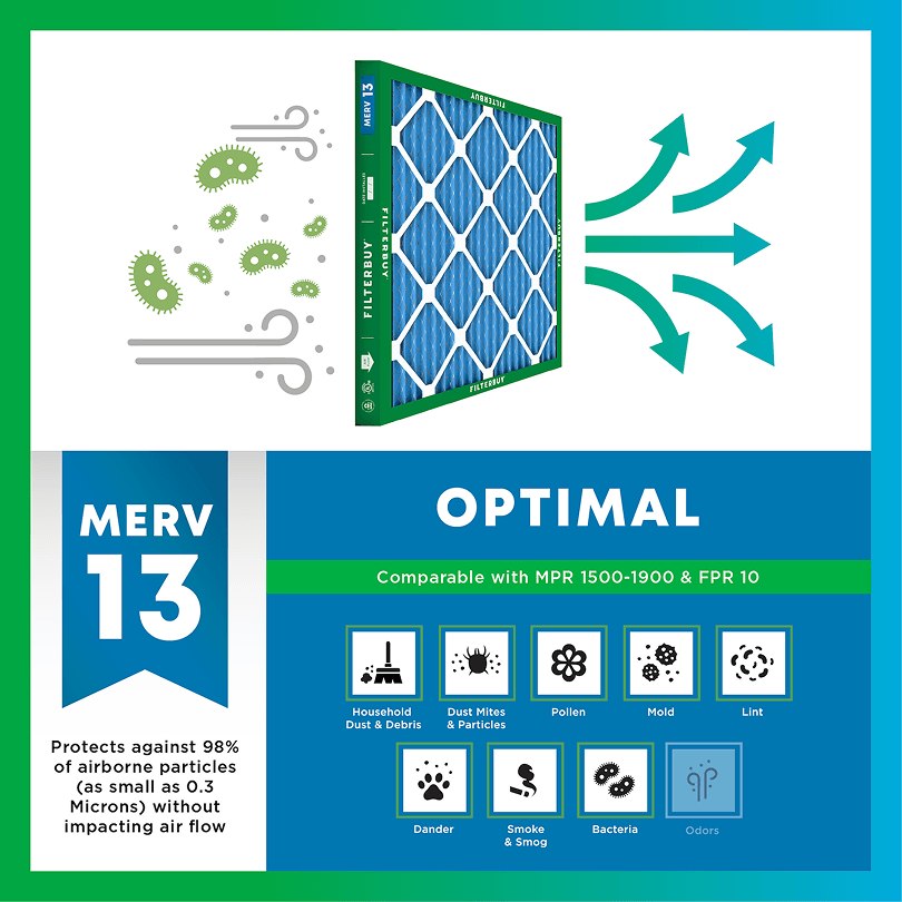
During smoke events, the EPA recommends upgrading to a MERV 13 filter — or the highest-rated filter your system can handle — to help reduce the fine particles smoke brings indoors. MERV 13 is the level most home HVAC systems can run while still capturing PM2.5, the fine particulate that makes up the bulk of wildfire smoke.
- Captures PM2.5 particles
- Blocks ash, soot, and smoke odor
- Keeps your indoor air safe—even when the outdoor air is dangerous
- Meets the EPA's recommended rating for filtering fine wildfire smoke particles.

Wildfire Smoke FAQs
Facts About Wildfires
Over 70,000 wildfires burn in the U.S. every year.
Wildfire smoke can travel 1,000+ miles, affecting states that aren't even near the blaze.
Exposure to wildfire smoke can worsen asthma, trigger heart issues, and lead to ER visits.
Indoor air can hold more fine particles during wildfire events unless it's properly filtered.
The EPA advises using MERV 13 filters or portable HEPA air cleaners during wildfire smoke events.
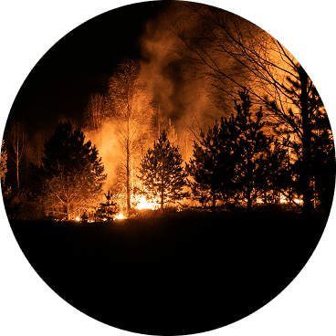
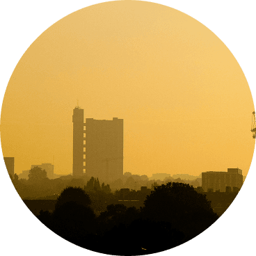
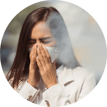
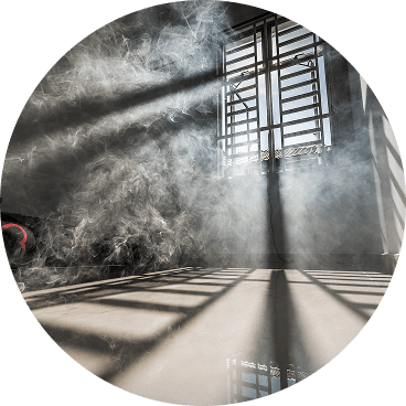
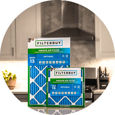
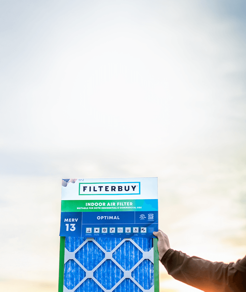
Don't Wait Until The Smoke's Inside.
Use the live wildfire smoke tracker and upgrade your air filters today to protect your lungs and your home.
Shop Filters For Smoke Protection
Current Live Memphis, TN Forest Wildfire & Smoke Map Conditions Today
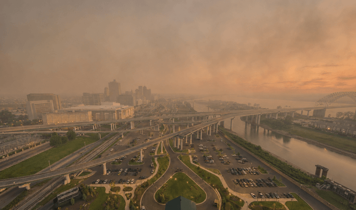
The first sign is rarely a news alert. It is the smell, that faint campfire note drifting across a Memphis parking lot in July, or a sun that hangs orange over the Mississippi at midday. By the time you catch it, fine smoke particles are already finding their way indoors. The live map on this page tells you in under two minutes whether a fire is feeding that haze, where the smoke is drifting, and how rough the air around your block has gotten. We are air-obsessed for a living, and across the Mid-South, we have watched the same pattern hold for years. The smoke almost always arrives before the explanation does.
TL;DR Quick Answers
Current Live Forest Wildfire & Smoke Map Today In Memphis, TN
Open the live map above, type in a Memphis ZIP code, and read the dot closest to you. That one color is your fastest answer. The map pulls three things into a single view for the Memphis area:
Red markers for active fires
Gray shading for smoke plumes on the move
Colored dots for the air quality reading at nearby monitors
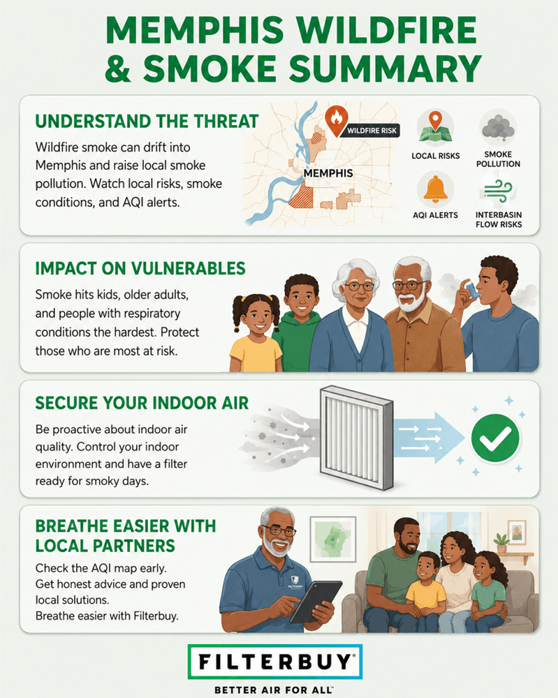
Most days, smoke over Memphis blew in from a wildfire far away or from farm burning across the Delta, so the source usually sits well outside the city. Green and yellow mean most people are fine. Orange is the cue for sensitive folks to get inside. Red or worse means everyone should. When the air turns, close the windows, run your HVAC, and drop in a MERV 13 filter to catch the fine particles you would otherwise breathe.
Top 5 Takeaways
The live map plus your local air-quality alert is the fastest read on Memphis conditions. Source and severity in seconds.
Smell smoke with no fire in sight? Around her, there is almost always smoke riding the wind from a distant blaze or a seasonal crop burn.
The AQI number is your trigger. Past 100, sensitive groups ease off on outdoor time. Past 150, everyone does.
PM2.5 is the fine particle that drives a smoky-day reading and slips deep into your lungs. It is the one we watch most.
Three indoor moves carry the load. Windows shut, HVAC running, and a MERV 13 filter that fits your system.
What The Live Memphis Map Shows You Right Now
The map at the top of this page puts the whole outdoor picture in front of you for Memphis and Shelby County. Read it part by part.
Red or orange markers flag active fires that the monitoring networks have picked up.
Gray shading traces smoke plumes as they drift, the part that matters most here, since most of our smoke comes from somewhere else.
Colored dots are live readings from monitors around the metro, refreshed about every hour.
Type in your ZIP or let the map find you, then read the nearest dot. On a fast-moving day, look again a few hours later. Winds along the Mississippi River corridor can swing conditions before lunch turns into dinner.
Where Memphis Smoke Usually Comes From
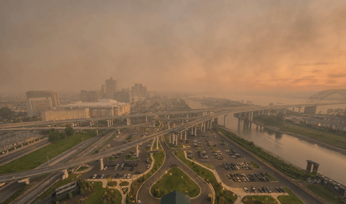
Big local forest fires are rare in Memphis. When the air goes hazy, the cause almost always lands in one of three places.
Smoke that traveled. Boreal and western fires, often up in Canada or the northern plains, loft smoke thousands of miles. When the jet stream dips south, it settles right over the Mid-South.
Field and crop-residue burning. Out across the Mississippi Delta and into Arkansas and Mississippi, seasonal farm burning in spring and fall can send smoke toward the city.
Something closer. A structure, vehicle, or brush fire nearby brings a sharper, shorter smell that usually clears fast.
For the science of how these fires catch and spread, this overview of how wildfires behave is a solid starting point. The Memphis lesson is the one that catches people off guard. You can smell smoke on a blue-sky day because the fire making it is nowhere near Tennessee.
How To Read The Map And The AQI Colors
Once you know the moves, reading the map takes seconds.
Find your spot, or type in a Memphis ZIP code.
Read the nearest dot and its color.
Check the dot's shape. Circles are permanent government monitors and the most trustworthy. Other shapes are temporary or low-cost sensors.
Glance at the wind and the fire markers to see where the smoke is heading.
Compare the current number against the hourly forecast, then plan your day around the clear stretch.
When two nearby readings argue with each other, go with the closer official monitor. When you still cannot tell, act on the worst number. We would rather you close a window you did not need to than skip one you did.
The AQI runs 0 to 500 and sorts the air into colors anyone can read at a glance.
Green, 0 to 50. Clean air. Carry on.
Yellow, 51 to 100. Acceptable. A few unusually sensitive people might notice it.
Orange, 101 to 150. Sensitive groups, kids, older adults, pregnant people, and anyone with asthma, COPD, or heart disease should cut outdoor time.
Red, 151 to 200. Most people will feel it. Head inside when you can.
Purple, 201 to 300. Health alert. Skip outdoor exertion.
Maroon, 301 and up. Emergency air. Stay in with filtered air.
On a smoke day, PM2.5 is what pushes that number up. Those particles are small enough to reach deep into your lungs, which is why a little haze deserves more respect than it looks like it should.
What To Do Indoors When The Air Turns Smoky
Once the map confirms smoke, the cleanest air you can reach is inside your own home. A handful of steps do most of the work.
Keep the windows and doors shut.
Run your HVAC, and set the fan to on rather than auto so it keeps pulling air across the filter.
Put in a MERV 13 filter to grab the PM2.5, and swap it more often while the smoke hangs around.
Hold off on anything that adds smoke inside, like frying, candles, or vacuuming without a sealed HEPA vacuum.
Take it easy outdoors, and wear a snug N95 if you have to be out in the thick of it.
Here is the honest part we never skip. A filter does nothing for the AQI outside, and it will not pull out gases like carbon monoxide. What it does control is the air you actually breathe indoors, where you spend most of a smoky day anyway. If you are still working out why there is smoke in the air today, that guide walks you through spotting the source and reading the risk.
After manufacturing filters for over a decade and serving more than two million households, we see the proof land on our own loading dock. The filters that come back during a smoke event are darker and heavier than the ones from a clean-air month, and that gray is the same fine particle pollution a Memphis family would be breathing indoors without it.
Filterbuy Indoor Air Quality Team
7 Essential Resources For Memphis Wildfire And Smoke Tracking
When smoke pushes into the Mid-South, these are the sources we hand to Memphis families. Each one is official, free, and run by a different trusted authority.
See Live Fire Locations And Smoke Plumes In One View
The AirNow Fire and Smoke Map stacks active fire markers, drifting smoke, and live PM2.5 readings across North America, including Memphis. It is the quickest way to see what is in your air this minute.
Source: AirNow Fire and Smoke Map
Find Out Who Smoke Hits Hardest
The CDC lays out which groups face the most risk during a smoke event and how to look after them before, during, and after. Worth a read if your home includes kids, older adults, or anyone with a heart or lung condition.
Source: CDC Wildfire Smoke Guidance
Keep The Smoke That Sneaks In Under Control
The EPA walks through real steps for cutting the smoke that slips indoors, including how to build a clean room. It pairs naturally with upgrading your filter before things get worse.
Source: EPA Wildfires and Indoor Air Quality
See Where The Smoke Is Headed Next
The National Weather Service air-quality safety guide explains the AQI, the daily air-quality forecasts, and what to do when an alert hits, so Memphis residents can plan around the clearest window.
Source: NWS Air Quality Safety Guide
Get Tennessee's Own Air Quality Information
Tennessee's Division of Air Pollution Control tracks air across the state and posts guidance and advisories. It is the local authority for conditions and open-burning rules near Memphis.
Source: Tennessee Division of Air Pollution Control
Reach A Lung-Health Expert When You Need One
The American Lung Association offers wildfire-specific lung guidance plus a HelpLine staffed by respiratory therapists and nurses. A good call when smoke is aggravating a breathing condition.
Source: American Lung Association Wildfire Resources
Track National Fire Activity From The Source
The National Interagency Fire Center posts current fire activity and statistics straight from the agencies running the national response. Handy for seeing the bigger fire picture, feeding smoke toward the Mid-South.
Source: National Interagency Fire Center Fire Information
Supporting Statistics Memphis Residents Should Know
A few numbers explain why a hazy afternoon is worth taking seriously, even with the fire a thousand miles off. These line up with what we see in the field.
Wildfire Smoke Is A Measurable Health Risk
A 2026 peer-reviewed study linked wildfire-smoke PM2.5 to roughly 24,100 deaths a year across the contiguous United States, and found it about five times more toxic than ordinary PM2.5. That tracks with the darker, heavier filters customers ship back to us during smoke events.
Source: 2026 Science Advances Wildfire Smoke Mortality Study
Wildfire Smoke Hits The Lungs Harder Than Other Pollution
A 2021 peer-reviewed analysis led by Aguilera found wildfire-specific PM2.5 drove a steeper jump in respiratory hospitalizations than the same dose of PM2.5 from other sources. It is one reason we tell Memphis families not to wait for thick haze before upgrading filtration.
Source: Aguilera 2021 Wildfire Smoke Respiratory Study
Smoke Travels Thousands Of Miles To Reach The South
NASA satellite tracking documented Canadian wildfire smoke traveling thousands of miles in 2025, with haze reaching as far south as Florida. That is exactly how Memphis air goes smoky on a day with no fire in sight.
Source: NASA Earth Observatory Smoke Transport Report
Final Thoughts And Opinion
Memphis is going to keep getting smoky days. Most will roll in from fires hundreds, even thousands, of miles off, carried here on the wind rather than sparked down the road. None of us can change that. What you can change is how ready your home is when the haze shows up.
So here is where we land after years of watching it happen. The families who stay comfortable inside on a bad-air day are not the lucky ones. They checked the map early, they knew which AQI number meant get the kids in, and they had the right filter in place before the first whiff of smoke. A MERV 13 in a system built to handle it does quite a work you never notice. That is the whole idea.
Next Steps
Turn what you just read into a few quick moves.
Pin this live map to your phone's home screen so the check is one tap.
Confirm your filter size and MERV rating today, before you actually need it.
Run your HVAC fan on the on setting and make sure it sounds smooth.
Stash a spare MERV 13 filter so there is no scramble when smoke arrives.
During a long smoke stretch, check the filter every one to two weeks and swap it early if the media looks gray or the vents feel weak.
Frequently Asked Questions
Check The Map, Then Protect The Air Inside
Memphis smoke can settle in well before any alert pings your phone, so make this live wildfire and smoke map your first look whenever the sky seems off. Then get your home ready with a MERV 13 filter from Filterbuy in a standard or custom size, made in the USA and shipped fast, so clean indoor air is one less worry when the haze rolls in.
Subscribe to wildfire smoke alerts for Memphis, TN, to get a heads-up before the next event reaches your area.