
Springfield Real-Time AQI Tracker


Get Alerts For Unhealthy AQI In Your Area
When air quality in your area reaches unhealthy levels, we'll send you a quick alert, along with expert tips on how to reduce your exposure.
What's Actually In Springfield Air Today?
What High AQI Means for Your Lungs in Springfield
How to Read AQI
The Air Quality Index (AQI) measures how polluted the air is and how it may affect your health.
0–50 (Good): Air quality is satisfactory.
51–100 (Moderate): Acceptable, but some pollutants may pose minor concerns.
101–150 (Unhealthy for Sensitive Groups)
151–200 (Unhealthy)
201–300 (Very Unhealthy)
301+ (Hazardous)
Moderate
Still okay for most, but if you have asthma or allergies, take it easy and avoid long outdoor workouts.
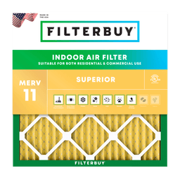
Shop MERV 11 filters→What's the Right Filter for Your AQI Level?



Check Today's Live Real Time Air Quality Index AQI Map in Springfield, MO Now
Author: Michelle Wan, Brand Manager and Air Quality Writer | Technical Reviewer: David Clark, Licensed HVAC Technician | Published: August 4, 2026 | Updated: August 4, 2026
TL;DR Quick Answers
Springfield, Missouri meets federal air quality standards, but the number on the map above changes hour by hour. Ozone climbs on hot, sunny afternoons from March through October. Fine particles rise with winter wood smoke and drifting wildfire smoke. Check the map, note the color, then decide whether to move plans indoors.
Building this page, the first tools I checked for Springfield air quality handed me Springfield, Illinois data. That is why the verification steps sit high here instead of at the bottom. The second surprise was bigger. Springfield announces Ozone Action Days locally, while the state program most Missouri coverage describes serves St. Louis and Kansas City. A household here can follow the state and miss the alert that applies to them.
Michelle Wan, Brand Manager and Air Quality Writer, Filterbuy
Key Takeaways
The AQI does not measure pollen, so a green map can still be a rough Ozarks spring morning.
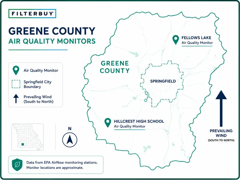
Two monitors serve Springfield. Hillcrest High School measures ozone and PM2.5, Fellows Lake ozone downwind.
The ozone season runs March 1 through October 31, when ozone usually drives the number.
Springfield Ozone Action Days come from the city and the Ozarks Clean Air Alliance, not the state program serving St. Louis and Kansas City.
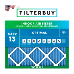
At or below 100 is generally satisfactory. Above 100, sensitive groups should cut back outdoors, and a MERV 13 filter with windows closed is the strongest indoor step.
How To Read The Live Air Quality Index Map For Springfield, MO
Find your ZIP code on the map above, read the number and color, and note which pollutant is driving it. The AQI runs 0 to 500, where 100 marks the short-term national standard for that pollutant.
Source: U.S. EPA Air Quality Index scale, as reported by AirNow.
More detail is in our AQI scale explained, and our guide to which MERV rating to run on high-AQI days matches each band to a filter.
Which Monitors Feed Springfield's AQI Number
Springfield's AQI comes from two Missouri Department of Natural Resources sites, and they do not measure the same things. The department runs roughly 50 sites statewide and publishes a Springfield Area Air Quality Index report that updates hourly every day.
Source: Missouri Department of Natural Resources and City of Springfield Environmental Services.
Fellows Lake sits downwind on purpose. Ozone forms as sunlight reacts with nitrogen oxides and volatile organic compounds rather than being released directly, so peaks often land outside the urban core.
Read that table again and something jumps out. Two of the three pollutant measurements around Springfield track ozone. Only one tracks PM2.5. A monitoring network is a statement of expected risk, and this one says regulators expect ozone to be the local problem. Ozone is also the pollutant you cannot see or smell, which is why Filterbuy treats a clear-looking July afternoon as a reason to check the map, not skip it.
Make Sure You Are Reading Springfield, Missouri And Not A Different Springfield
Four notable U.S. cities share the name Springfield. Springfield, Missouri is the Greene County seat, roughly 170,000 residents, ZIP codes beginning 658. Springfield, Illinois is the state capital in Sangamon County. Massachusetts has one in Hampden County, Ohio in Clark County.
Three checks confirm Missouri data. The county should read Greene. The ZIP should fall between 65801 and 65810. The monitor should be Hillcrest High School or Fellows Lake. A report citing Sangamon County is Illinois. For statewide context, see the Missouri air quality index map.
What Drives Springfield's Air Quality Through The Year
Springfield's dominant pollutant changes with the season, so a summer afternoon reading tells you little about a January morning. Its air reflects traffic on the Interstate 44 and Highway 65 corridors, seasonal burning, and smoke transported from fires outside Missouri.
Federal ozone monitoring season runs March 1 through October 31. Source: Missouri Department of Natural Resources.
Where Springfield's Ozone Action Day Alerts Come From
Springfield issues its own Ozone Action Days. The city announces an Ozone Action Day when the AQI is forecast to reach Code Orange, the Unhealthy for Sensitive Groups band, pairing the health advisory with requests to carpool and hold off on refueling or mowing until after 6 p.m. The Ozarks Clean Air Alliance coordinates that work regionally.
The state program runs on a separate track. Missouri DNR uses its real-time index as the basis for Ozone Action Days in St. Louis and Kansas City.
Two habits close that gap. Follow the City of Springfield, sign up for EnviroFlash alerts, and check this map before outdoor plans from March through October. Ozone builds through the day, so a 7 a.m. run in July beats a 5 p.m. one.
What The Springfield AQI Does Not Measure
The index covers ozone, particle pollution, carbon monoxide, sulfur dioxide, and nitrogen dioxide. It does not measure pollen. In an Ozarks spring that gap matters, because the map can read green on the morning your eyes swell shut. Feeling worse than the number suggests usually means pollen, and a Filterbuy MERV 11 or 13 filter still helps indoors even though the AQI never flagged a problem.
Two monitors also cover the whole of Greene County. A green citywide reading cannot rule out a burn pile upwind of your street or exhaust off a busy intersection. Trust your eyes and throat over a number measured miles away. The map is a baseline, not the final word.
What To Do Indoors When Springfield's AQI Climbs
When the AQI crosses 100, close the house and let the HVAC system filter. The EPA recommends MERV 13 or better in smoke events, and the CDC identifies who faces the highest risk when smoke arrives, including people with asthma, COPD, heart disease, or diabetes.
Step 1. Close windows, doors, and any fresh air intake.
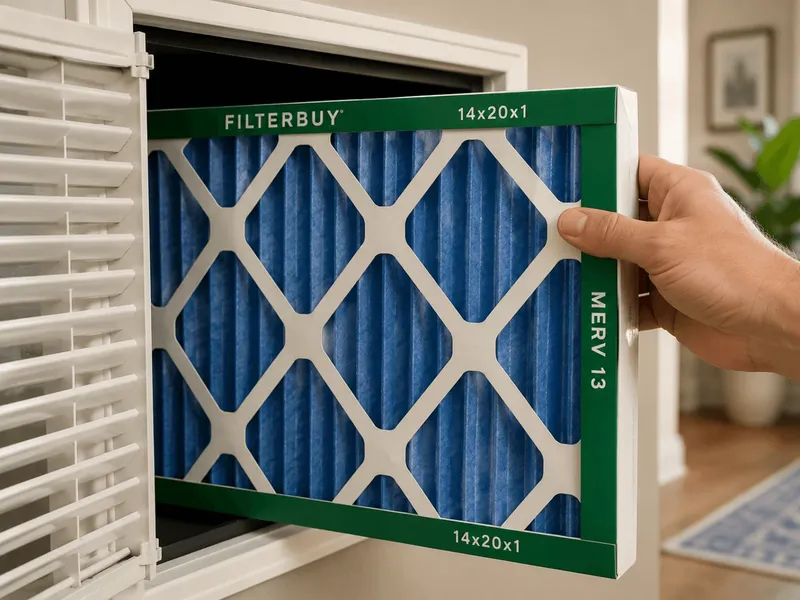
Step 2. Find your filter size. Pull the existing filter and read the three numbers on the frame, such as 20x25x1. That is the nominal size, and the filter itself measures slightly smaller. Filterbuy cuts to that gap on purpose at our Talladega, Alabama plant so it seats without binding. A filter built to its exact nominal size will not go in. If your slot is an odd size, we build over 600 of them plus full custom.
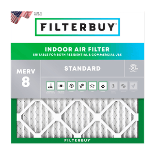
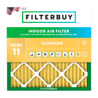
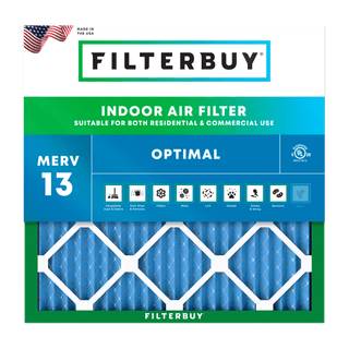
Step 3. Match the rating to the household. MERV 8 air filters handle routine dust in homes with no pets or allergies. MERV 11 air filters suit homes with pets or allergies. MERV 13 is the choice for asthma, COPD, and smoke days, and Filterbuy MERV 13 air filters trap 98% of airborne particles down to 0.3 microns.
Step 4. Run the fan. Set it to ON rather than AUTO so air keeps cycling through the filter. AirNow lists more steps to take when smoke is in the air.
Step 5. Change it on schedule. A loaded filter restricts airflow and stops helping. Replace every 60 to 90 days, closer to 60 in heavy pollen or smoke. Considering a portable unit? Compare MERV 13 versus HEPA for wildfire smoke.
Expert Perspective
After manufacturing filters for over a decade and serving more than two million households, we have learned that the AQI tells you what is happening outside your front door, not what your family breathes inside it. In Springfield, where the air meets federal standards most of the year, the filter in your return vent decides whether a bad ozone afternoon follows you indoors.
David Heacock, Founder and CEO, Filterbuy
The question we get most at Filterbuy is which number counts. People check three apps and see three answers. For Springfield, skip the citywide figure and read the monitor closest to you. Then answer two questions. Does today change what I do outside, and does it change what I run indoors. Thirty seconds and you are done.
Michelle Wan, Brand Manager and Air Quality Writer, Filterbuy
Frequently Asked Questions
Seven Resources That Tell You What Springfield Air Is Doing Right Now
Each resource comes from a government agency or health organization.
See Which Two Monitors Actually Report Springfield's Air
City of Springfield Environmental Services names both Greene County monitors and links to the state pollutant summaries.
Source: https://www.springfieldmo.gov/3166/Outdoor-Air-Quality
Track Ozone Downwind Of The City Hour By Hour
Missouri DNR publishes preliminary one-hour ozone averages for the Fellows Lake monitor.
Source: https://dnr.mo.gov/air/hows-air/air-monitoring-sites/fellows-lake-greene-county
Learn What Each AQI Color Means Before You Need It
AirNow is the EPA's official public channel for air quality data, and its basics guide explains all six categories.
Source: https://www.airnow.gov/aqi/aqi-basics/
Get Federal Guidance For Smoke And Heat Arriving Together
The EPA covers filters, clean rooms, and masks for days when smoke and heat arrive together.
Source: https://www.epa.gov/wildfires/protect-yourself-heat-and-smoke
Follow Step By Step Household Safety During A Smoke Event
The CDC sets out household actions during wildfire smoke, including closing off one room.
Source: https://www.cdc.gov/wildfires/safety/how-to-safely-stay-safe-during-a-wildfire.html
Compare Springfield's Air Against The Rest Of The Country
The American Lung Association grades the Springfield metro on ozone and particle pollution using three years of EPA data.
Source: https://www.lung.org/research/sota/city-rankings/msas/springfield-mo
Read The Forecast Reasoning Behind Tomorrow's Air
The National Weather Service office in Springfield publishes its thinking on the heat and stagnation that build ozone.
Source: https://www.weather.gov/sgf/afd
Three Statistics Behind The Guidance On This Page
Each figure comes from federal research or a national health group.
1. Wildfire Particles Hit Harder Than Other Particles
Wildfire PM2.5 raised respiratory hospitalizations 1.3% to 10% per 10 micrograms per cubic meter.
Other PM2.5 raised them 0.67% to 1.3%.
Supports the seasonal table above.
Source: Aguilera et al., 2021, Nature Communications, via the National Library of Medicine. https://pmc.ncbi.nlm.nih.gov/articles/PMC7935892
2. About One In Twelve Americans Lives With Asthma
28 million Americans have asthma.
Roughly 1 in 12 people.
Supports the orange-band guidance above.
Source: Asthma and Allergy Foundation of America. https://aafa.org/asthma/asthma-facts/
3. Wildfires Burned 5,131,474 Acres Nationwide In 2025
77,850 wildfires burned 5,131,474 acres in 2025.
The 2020 season burned over 10.1 million acres.
Supports why readings climb with no fire nearby.
Source: National Interagency Fire Center. https://www.nifc.gov/fire-information/statistics/wildfires
Glossary
AQI (Air Quality Index): The EPA 0 to 500 scale sorting pollutant concentrations into six color-coded health categories, green for good through maroon for hazardous.
PM2.5: Fine particulate matter 2.5 micrometers or smaller, small enough to reach deep into lung tissue. Wildfire smoke, wood burning, and vehicle exhaust are the usual sources.
Ground-Level Ozone: A gas formed when sunlight drives reactions between nitrogen oxides and volatile organic compounds. It irritates airway linings and drives smog.
MERV: The 1 to 20 scale rating how well a filter captures airborne particles.
Greene County: The southwest Missouri county seated at Springfield.