The moment a wildfire starts near you, you'll get an instant alert and simple tips to reduce your smoke exposure.
30xSmaller than a human hair
Fine enough to reach deep into the lungs. A MERV 13 is built to capture it.
It Doesn't Stay Local
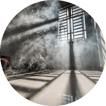
Smoke rides the wind far downwind — you can get smoky air with no fire nearby.
Simple steps to reduce indoor exposure.
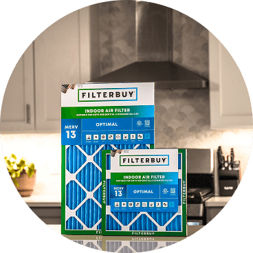
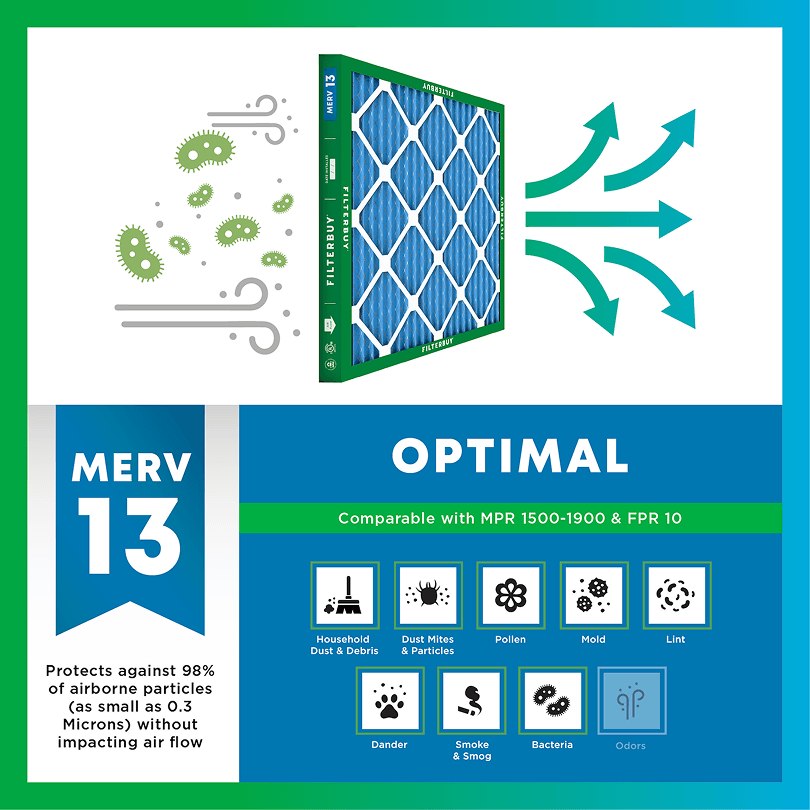
During smoke events, the EPA recommends upgrading to a MERV 13 filter — or the highest-rated filter your system can handle — to help reduce the fine particles smoke brings indoors. MERV 13 is the level most home HVAC systems can run while still capturing PM2.5, the fine particulate that makes up the bulk of wildfire smoke.
Over 70,000 wildfires burn in the U.S. every year.
Wildfire smoke can travel 1,000+ miles, affecting states that aren't even near the blaze.
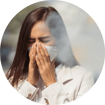
Exposure to wildfire smoke can worsen asthma, trigger heart issues, and lead to ER visits.
Indoor air can hold more fine particles during wildfire events unless it's properly filtered.
The EPA advises using MERV 13 filters or portable HEPA air cleaners during wildfire smoke events.
Use the live wildfire smoke tracker and upgrade your air filters today to protect your lungs and your home.
Shop Filters For Smoke Protection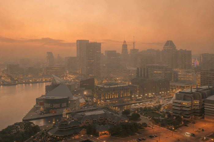
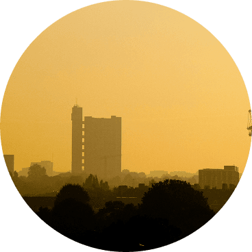
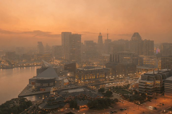
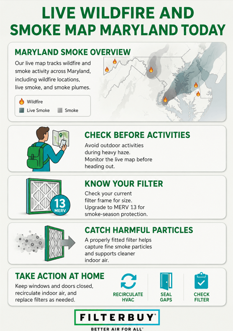
On June 7, 2023, the midday sky over Lanham, Maryland, glowed a dull orange. The smoke had drifted in from wildfires burning more than a thousand miles north in Canada, and for several days, it fouled the air across Baltimore and Washington. We build air filters for a living, so here is what stuck with us. The haze you could see was the least of it. The particles that do the real harm are far too small to spot. This page keeps both in plain sight. The live map below tracks active fires, smoke plumes, and the air quality right where you live, from the Eastern Shore to the western mountains, so you can act before that smoke settles into the air your family breathes.
The fastest way to see what is happening right now is the live map at the top of this page. The EPA and the U.S. Forest Service run it together through their AirNow network, and it puts three things in front of you at once.
Active fires reported across Maryland and the states around it
Smoke plumes drifting overhead
Live air quality index (AQI) readings near you
Find the monitor closest to your town and read its color. Green or yellow means normal activity is fine. Once it shifts to orange, red, or purple, sensitive groups should ease up outdoors first, then everyone, and it is time to run for cleaner air inside.
Maryland's wildfire risk runs highest in spring and fall, when forest fuels dry out, and the wind picks up.
People start most Maryland wildfires, and burning yard debris is the top cause.
Some of the state's worst air days arrive on the wind, blown in from fires as far off as Canada.
A MERV 13 filter is your main line of defense indoors, because it catches the fine PM2.5 particles that carry the health risk.
Check the live map before you head outside, then close up and filter the air when the AQI climbs.
The map pulls from three sources at the same time. Permanent government monitors, temporary monitors that crews place near active fires, and thousands of low-cost neighborhood sensors all feed it. Here is what the markers mean.
Colored circles give the current AQI at each monitor, from green for good up to maroon for hazardous.
Flame icons mark fires that crews have reported to the National Interagency Fire Center.
Glowing dots mark fires that satellites have picked up.
Gray shading traces smoke plumes moving across the region.
Tap the monitor nearest you for the current reading, the trend over recent days, and the steps to take at that air quality level. Stacked together, these layers give you a working fire map and smoke map for Maryland in a single view.
Maryland runs greener and wetter than the western states, and wildfires still break out here every single year. In an average year, the Maryland Forest Service answers roughly 150 of them, and they burn about 3,600 acres of forest, brush, and grass. The danger peaks in spring and fall, when dead leaves and dry fuel catch fast and gusty winds carry the flames.
The forested counties of western Maryland, Allegany and Garrett among them, carry a steady risk.
On the Eastern Shore, brush and marsh fires can scorch large acreage in a dry year.
People cause about 96 percent of Maryland wildfires, and burning debris tops the list.
The forces that light fires here are the same ones at work out west. For the full picture on how these blazes start and spread, read our breakdown of what causes forest fires in California.
Plenty of the smoke Marylanders breathe never started anywhere near Maryland. That 2023 episode was no fluke. When a fire grows large and the winds line up, its smoke can ride hundreds or even thousands of miles before it reaches the ground you walk on.
A single big wildfire can darken skies a continent away. That is why the smoke map sometimes shows thick haze over Maryland on a day with nothing burning nearby, and why it pays to check the current smoke map even when your own sky looks clear.
When the AQI climbs, the plan is simple. Keep the outdoor smoke out, and clean the air you already have inside. These steps work, roughly in order of how much they help.
Shut your windows and doors, and keep them shut until the AQI drops back down.
Set your HVAC fan to run continuously so it keeps filtering, even when the system is not heating or cooling.
Put in a MERV 13 filter for your home. It grabs the fine PM2.5 particles in smoke that thinner, lower-rated filters wave right through.
Swap a loaded filter earlier than your normal schedule, because smoke clogs a filter fast.
Run a portable air purifier in the room where your family spends the most time.
Most of what smoke carries is too small for the eye to catch. A good filter is the part of your home built to handle exactly that, pulling those particles out of the air your household breathes all day.
After manufacturing filters for over a decade and serving more than two million households, we have learned that the families who handle smoke season best close up the house early and let a MERV 13 filter do the quiet work. The smoke you can smell is only part of the problem, because the particles that reach deepest into your lungs are the ones you never see.
Filterbuy Indoor Air Quality Team
Once you have checked today's conditions, a few questions usually come next. These seven sources cover the live data, the local risk, and the health steps that matter most.
The EPA and U.S. Forest Service built the AirNow Fire and Smoke Map that powers the live feed at the top of this page. Their official guide walks you through the fire icons, smoke plumes, and AQI colors so you can zoom right to your Maryland neighborhood.
Source: AirNow Fire and Smoke Map User Guide
The Maryland Forest Service runs the state's Firewise program and tracks local fire danger. It is the place to learn how fires start here and how to protect a home that backs up to woods or brush.
Source: Maryland Department of Natural Resources
The CDC lays out who faces the most risk from wildfire smoke and what to do when air quality falls. The guidance is practical and plain enough to act on the same day.
Source: Centers for Disease Control and Prevention
This EPA resource shows you how to read the AQI and match each level to the right move. It is grounded in the science of how fine particles affect the body during smoke events.
Source: U.S. Environmental Protection Agency
The National Weather Service spells out its red flag warnings and fire weather watches, the alerts that flag the highest-risk days. Knowing them helps you time outdoor work around wind and dryness.
Source: National Weather Service
Ready.gov walks you through preparing for, getting through, and recovering from a wildfire. It is a straightforward checklist for families who want a plan ready before they need it.
Source: Ready.gov
U.S. Forest Service research explains how smoke moves downwind and degrades air quality far from the flames. It ties those distant fires to the haze that shows up over Maryland.
Source: USDA Forest Service Research
The numbers behind Maryland's fire and smoke seasons make the case for keeping an eye on the map and the air inside your home.
A Southern California study found that respiratory hospitalizations rose by as much as 10 percent for every 10 µg/m³ of wildfire-specific PM2.5. The same amount of PM2.5 from other sources pushed them up only 0.67 to 1.3 percent.
Source: National Institutes of Health
In 2024, the United States logged 64,897 wildfires that burned close to 8.9 million acres, both well above the five and ten-year averages.
Source: National Interagency Fire Center
In June 2023, Canadian wildfire smoke handed the Washington region next door to Maryland some of its most smoke-polluted air in 25 years.
Source: NASA Earth Observatory
We will put it plainly. If you wait until you can smell smoke, you have already breathed the worst of it. The fine particles reach your lungs and your living room long before the haze gets thick enough to notice.
So treat the live map like part of your morning routine through spring, fall, and any stretch when fires are burning. A five-second glance tells you whether today is a close-the-windows day. When the color near your town slides toward orange or red, shut up the house and let a strong filter run.
You can't call off a wildfire two counties over or one in Quebec, but you can decide what the air inside your own walls is made of, and a MERV 13 filter is how you decide it.
Bookmark this page so the live Maryland map stays one tap away.
Check the map before outdoor exercise, yard work, or the kids' weekend games during fire season.
Find your filter size, printed right on the cardboard frame of the one in your system now.
Move up to a MERV 13 filter so your system catches wildfire smoke particles.
Set a reminder to change the filter more often while smoke is in the air.
Add a portable purifier for the bedroom or the room where everyone gathers.
Yes. The map at the top of this page shows live wildfire, smoke, and air quality data for Maryland, updated throughout the day from the EPA and U.S. Forest Service AirNow network. Zoom to your county to find the monitor closest to you.
Read the colored circles on the live smoke map for your area. Green and yellow point to clean or moderate air. Orange, red, and purple mean smoke has pushed particle levels into the unhealthy range.
Smoke travels. Maryland's haziest days often blow in from fires in Canada or other states, riding the wind for hundreds of miles while nothing burns nearby.
Risk peaks in spring and fall, when dead leaves and dry fuel ignite easily, and wind carries fire fast. In an average year, the Maryland Forest Service answers about 150 wildfires.
Once the AQI passes 100 (orange), sensitive groups should cut back outdoors. Above 150 (red), everyone should. Above 200 (purple), stay inside with the windows shut and a filter running.
Shut the windows and doors, set your HVAC fan to run continuously, and put in a MERV 13 filter. Change that filter earlier than usual during a smoke event, and add a portable purifier for your main room.
MERV 13 is the sweet spot for most Maryland homes. It captures the fine PM2.5 particles in smoke while still letting your system breathe, which lower ratings miss and much higher ratings can strain.
More common than most people think. Maryland averages around 150 wildfires a year across about 3,600 acres, and people start roughly 96 percent of them, usually by burning debris.
Maryland's fire and smoke conditions can flip overnight, but the air inside your home does not have to follow. Find your size, switch to a Filterbuy MERV 13 filter, and breathe easier the next time the map turns red.
Subscribe to wildfire smoke alerts for Maryland to get a heads-up before the next event reaches your area.