
Colorado Springs, CO Live Wildfire Smoke Map
Get Alerts For Wildfires In Your Area
The moment a wildfire starts near you, you'll get an instant alert and simple tips to reduce your smoke exposure.
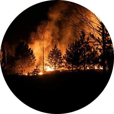
What's In The Smoke
30xSmaller than a human hair
Fine enough to reach deep into the lungs. A MERV 13 is built to capture it.
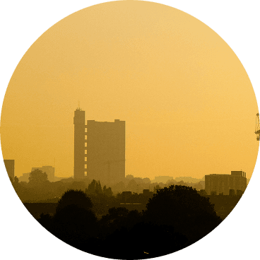
How Far It Travels


It Doesn't Stay Local
Smoke rides the wind far downwind — you can get smoky air with no fire nearby.
What To Do During A Smoke Event
Simple steps to reduce indoor exposure.
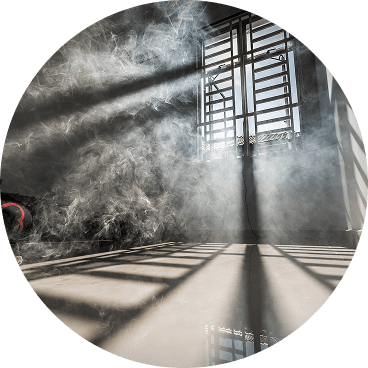
- Stay In, Close UpShut windows and doors to keep smoke out.
- Set Fan To "On"Keeps air cycling through your filter, not just when heating or cooling.
- Recirculate AirSwitch off fresh-air intake so you're not pulling smoke in.
- Run A MERV 13Built to capture the fine PM2.5 in smoke.
- Add A PurifierExtra filtration for the room you use most.
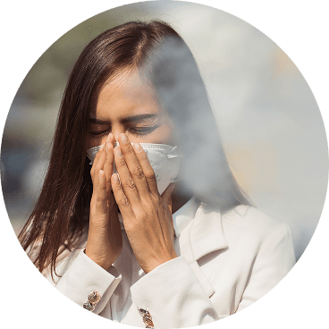
- Wear an N95 if OutsideFits snug to block fine particles — a cloth mask won't.


The Best Air Filter For Wildfire Smoke
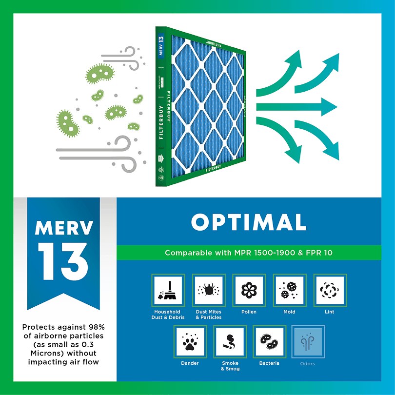
During smoke events, the EPA recommends upgrading to a MERV 13 filter — or the highest-rated filter your system can handle — to help reduce the fine particles smoke brings indoors. MERV 13 is the level most home HVAC systems can run while still capturing PM2.5, the fine particulate that makes up the bulk of wildfire smoke.
- Captures PM2.5 particles
- Blocks ash, soot, and smoke odor
- Keeps your indoor air safe—even when the outdoor air is dangerous
- Meets the EPA's recommended rating for filtering fine wildfire smoke particles.

Wildfire Smoke FAQs
Facts About Wildfires
Over 70,000 wildfires burn in the U.S. every year.
Wildfire smoke can travel 1,000+ miles, affecting states that aren't even near the blaze.
Exposure to wildfire smoke can worsen asthma, trigger heart issues, and lead to ER visits.
Indoor air can hold more fine particles during wildfire events unless it's properly filtered.
The EPA advises using MERV 13 filters or portable HEPA air cleaners during wildfire smoke events.
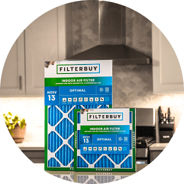
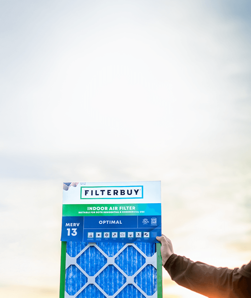
Don't Wait Until The Smoke's Inside.
Use the live wildfire smoke tracker and upgrade your air filters today to protect your lungs and your home.
Shop Filters For Smoke Protection
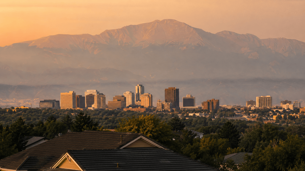
Current Live Forest Wildfire and Smoke Map Today in Colorado Springs, CO: Track Active Fires, Air Quality Alerts, and Real-Time Smoke Conditions Affecting Your Family's Health and Home
Author: Michelle Wan, https://filterbuy.com/author/michelle-wan/
Technical Reviewer: David Clark, Licensed HVAC Technician
Publish Date: 7/13/2026
Updated Date: 7/13/2026
Start with the map at the top of this page. It carries the current reading for El Paso County monitors, updated hourly from AirNow, and it reflects real-time satellite smoke detection on top of ground-level sensor data. This year has already brought more than one Air Quality Health Advisory for wildfire smoke to the Colorado Springs area, including advisories issued by the Colorado Department of Public Health and Environment that named El Paso County directly during the Aspen Acres Fire near Beulah in late June 2026.
TL;DR Quick Answers
Colorado Springs Wildfire and Smoke Conditions Right Now
Colorado Springs air quality can shift within a few hours during fire season because the city faces two separate smoke sources at once: fires burning in the nearby foothills and canyons, and smoke drifting in from fires elsewhere in Colorado and Utah. Check the live map above for the current reading rather than a number in this article. El Paso County has been placed under Air Quality Health Advisories for wildfire smoke more than once already in 2026, and a local fire near Cheyenne Mountain State Park reached roughly 30 percent containment within a day of igniting.
Key Takeaways
Colorado Springs air quality can change within hours during wildfire season because the city faces two distinct smoke sources: nearby canyon and foothill fires, and smoke transported in from fires burning elsewhere in Colorado and Utah.
El Paso County has been included in multiple Air Quality Health Advisories for wildfire smoke in 2026, including advisories tied to the Aspen Acres Fire, which has burned more than 93,000 acres in Pueblo and Custer Counties.
The Rock Creek Canyon Fire ignited in early July 2026 southwest of Cheyenne Mountain State Park in unincorporated El Paso County, and crews had it roughly 30 percent contained within a single day, evidence that Colorado Springs sits directly against wildland fire terrain and not just downwind of it.
Colorado Springs actually improved in the American Lung Association's 2026 “State of the Air” report, dropping from 23rd to 54th worst for ozone pollution and leaving the nation's Worst 25 list, though El Paso County still logs unhealthy ozone days most summers.
The AirNow Fire and Smoke Map and the CDPHE statewide Air Quality Summary are the two most current, reliable sources for checking conditions right now, since both draw from monitors and satellite data throughout the day.
A MERV 13 filter is the baseline the EPA and CDPHE recommend for reducing indoor exposure to wildfire smoke particles during an active advisory.
Is Colorado Springs Under a Wildfire Smoke Advisory Today
Local fire activity matters too. The Rock Creek Canyon Fire started in early July 2026 southwest of Cheyenne Mountain State Park, in unincorporated El Paso County outside city limits. A pre-evacuation warning for the surrounding area was lifted the same day once crews reached roughly 30 percent containment. The Colorado Springs Fire Department asked residents not to call 911 solely to report visible smoke, since crews were already aware and working the fire. That kind of local, close-range smoke can spike a neighborhood's PM2.5 reading well before it shows up in a citywide average, which is exactly why checking the live map for your specific area beats relying on a single number for the whole city.
We hear this gap between the neighborhood and the city number from Filterbuy customers in Colorado Springs every fire season. Someone near the foothills is already smelling smoke while a friend on the other side of town is checking the same citywide AQI figure and seeing nothing unusual. Both readings can be accurate at the same time. That is a map problem, not a math problem, and it is why we point people to a live, location-specific source instead of a single daily number.
Why Colorado Springs Faces Both Local Fire Risk and Transported Smoke
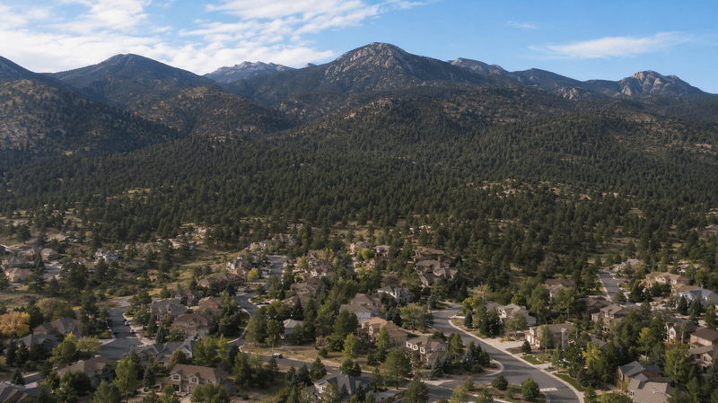
Most cities deal with one wildfire smoke problem or the other. Colorado Springs deals with both, and that is the detail most air quality pages miss. The city sits directly against the foothills of Pike National Forest, in what fire agencies call the wildland-urban interface, the zone where homes and forest fuel meet with no buffer between them. The Waldo Canyon Fire in 2012 and the Black Forest Fire in 2013 both burned into residential neighborhoods here, and the 2026 Rock Creek Canyon Fire is a smaller reminder of the same exposure.
At the same time, Colorado Springs regularly breathes smoke from fires it has no direct connection to. The Aspen Acres Fire, burning near the Pueblo and Custer County line roughly an hour south, has grown to more than 93,000 acres and damaged or destroyed more than 260 structures since late June 2026, pushing smoke into Colorado Springs neighborhoods even though the fire itself never reached city limits. CDPHE meteorologists have repeatedly tracked smoke moving into the Front Range and southern Colorado from fires burning in western Colorado and Utah during the 2026 season. The practical result is that a clear sky over your neighborhood this morning does not guarantee a clear sky by afternoon, since transport winds can shift a plume into the city with only a few hours of warning.
In the years Filterbuy has spent shipping air filters into El Paso County homes, this dual exposure is the single most confusing part of local air quality to plan around, and it is the reason we built this page around both risks instead of treating Colorado Springs like a typical single-source smoke market. Most city AQI pages assume one story: either you live near the fire, or you live downwind of it. Colorado Springs households live both stories at once, sometimes in the same week.
Colorado Springs has roughly 35,000 homes sitting inside the wildland-urban interface, according to the city's own fire department. Colorado Springs Fire Chief Randy Royal has compared living in that zone to living somewhere prone to earthquakes or hurricanes: a known, structural risk that shapes how the community plans, not a rare fluke. The Waldo Canyon Fire in 2012 destroyed 346 homes in the Mountain Shadows neighborhood alone, and the Black Forest Fire the following year destroyed more than 500 more, a combined toll of nearly 1,000 homes in less than twelve months.
The lesson those two fires left behind is not just about hardening a home against embers. In Mountain Shadows, evacuation orders went out later than expected because the fire's behavior on June 26, 2012, changed faster than the morning's plan accounted for, and some residents did not know they needed to leave until it was nearly too late. That is the same reason this page leads with a live map instead of a written description of current conditions. Wildfire smoke, like the fire that produces it, can outrun a plan built on a few-hours-old forecast.
How to Tell Local Smoke From Transported Smoke
Local, nearby-fire smoke usually arrives fast, smells sharp or acrid, and can cut visibility within an hour.
Transported smoke usually settles in as a hazy, milky sky rather than a sharp smell, with visibility fading gradually over several hours.
A CDPHE or El Paso County advisory naming a specific fire points to local smoke. A statewide Ozone Action Day Alert with no nearby fire points to ozone or transported smoke, not a blaze near you.
Either way, the live map at the top of this page is the fastest way to confirm which one you are dealing with.
How Colorado Springs Air Quality Is Actually Measured
The Air Quality Index runs from 0 to 500 and reports whichever pollutant is worst at a given hour, either ground-level ozone or fine particulate matter (PM2.5). Ozone tends to build through the late morning and peak in early afternoon on hot, sunny, still days, a pattern that El Paso County's high altitude and strong summer sun make worse. PM2.5 behaves differently. It can spike suddenly when a nearby fire flares up or when a transport plume rolls in overnight, then clear just as quickly once the wind shifts.
Both pollutants reach the AirNow Fire and Smoke Map through the same pipeline. Ground monitors and lower-cost sensors report PM2.5 and ozone data in near real time, while the National Oceanic and Atmospheric Administration's Hazard Mapping System adds a second layer, using GOES satellite imagery, reviewed by trained analysts, to outline smoke plumes that ground monitors alone would miss. That combination is why the live map at the top of this page can show a smoke plume approaching Colorado Springs before local monitors register a spike, giving you an earlier warning than a single number would.
AQI categories and health guidance per the U.S. EPA. Confirm the current Colorado Springs reading on the live map above rather than this table.
What To Do Right Now Based On What the Map Shows
Good or Moderate on the map means normal outdoor activity is fine for most people. Unhealthy for Sensitive Groups means children, older adults, pregnant people, and anyone with asthma, COPD, or heart disease should shorten or skip strenuous outdoor activity. Unhealthy and above means everyone should limit outdoor exposure, and it is the point at which indoor filtration starts to matter more than anything else you can control.
Inside the house, CDPHE and the EPA both point to the same baseline: run the HVAC fan continuously rather than on auto, close the outdoor air intake or switch to recirculate mode, and use the highest MERV filter your system can handle, with MERV 13 as the practical target for capturing fine wildfire particles without straining most residential blowers. A portable HEPA air cleaner in a single sealed “clean room” gives an extra layer of protection for anyone with respiratory risk. If you have to be outside during an active advisory, a properly fitted NIOSH-approved N95 respirator, not a surgical or cloth mask, is the CDC's recommendation for cutting smoke exposure. One Colorado-specific wrinkle worth knowing: homes that rely on evaporative, or “swamp,” coolers instead of central air conditioning pull outside air directly into the house by design, which means they can actively work against you during a smoke event unless you switch to a window AC unit or portable filtration for the duration of the advisory.
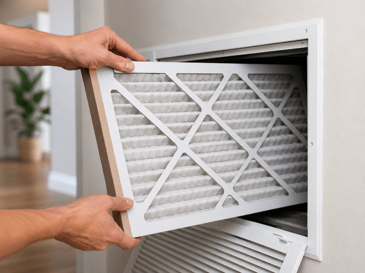
We hear from Colorado homeowners every fire season who assume a MERV 8 filter is close enough to MERV 13. It is not. The difference in fine-particle capture is significant, and during a smoke event that difference shows up as ash on windowsills and a harder time breathing indoors. Check the map, know your number, and put the right filter in before the smoke arrives, not after.
David Heacock, Founder and CEO, Filterbuy
Essential Resources for Colorado Springs Wildfire and Air Quality Information
Check the Live National Fire and Smoke Map
Source: the EPA and U.S. Forest Service's AirNow Fire and Smoke Map combines ground monitors, low-cost sensors, and satellite smoke detection into one real-time view you can center on Colorado Springs.
Confirm Statewide Advisories and Ozone Action Days
Source: CDPHE's Colorado Air Quality Summary lists every active Air Quality Health Advisory and Ozone Action Day Alert across the state, including any advisory that names El Paso County.
Reach El Paso County's Own Air Quality Program
Source: El Paso County Public Health's Air Quality page handles local complaints, open burn permits, and county-specific guidance beyond what the statewide map shows.
See How Colorado Springs Ranks for Ozone and Particle Pollution
Source: the American Lung Association's Colorado Springs “State of the Air” report card grades local ozone and particle pollution using three years of EPA monitoring data.
Follow EPA Guidance on Protecting Indoor Air From Smoke
Source: the EPA's wildfires and indoor air quality guidance lays out which indoor steps, from HVAC filters to portable air cleaners, actually reduce smoke exposure.
Review CDC Guidance for Wildfire Preparedness
Source: the CDC's wildfires and your safety guidance covers evacuation planning, returning home safely, and health steps for households near active fire terrain.
Build a Household Wildfire Plan Before Smoke Arrives
Source: FEMA's Ready.gov wildfire preparedness page walks through evacuation planning, go-bags, and alert sign-ups for households near wildland fire terrain.
Supporting Statistics
These three numbers come straight from the U.S. agencies and research behind this page. Not a secondary aggregator. Each one is checkable at the source.
2026 Is Running Well Above the National Ten-Year Average for Wildfire Activity
Wildfire activity nationwide is running far above normal this year.
Source: the National Interagency Fire Center, the federal government's own wildland fire coordination center.
Scale: 37,783 fires and more than 3.4 million acres burned nationwide as of July 8, 2026.
Context: 130 percent of the ten-year average number of fires. 146 percent of the ten-year average acreage.
Why it matters here: more fires burning nationwide means more transported smoke reaching Colorado Springs from outside Colorado, the exact pattern described earlier on this page.
Most Wildfire Smoke Reaching a Community Comes From Somewhere Else
Transported smoke is not the exception nationwide. It is the norm.
Source: Climate Central, a nonprofit science and journalism organization whose wildfire smoke analysis draws on peer-reviewed research and federal monitoring data.
Findings: Across the U.S., most of the wildfire smoke PM2.5 a community actually breathes comes from distant fires. 87 percent originates in other counties, and 60 percent originates in other states.
Why it matters here: this is the exact nationwide version of the pattern driving Colorado Springs' Aspen Acres Fire exposure described earlier on this page. Transported smoke is the normal case, not an edge case.
Wildfire Smoke Exposure Is Linked to Measurably Higher Respiratory Risk
Wildfire smoke is not just more particulate pollution. It is riskier pollution.
Source: Aguilera et al. (2021), published via the National Institutes of Health.
Finding: PM2.5 from wildfire smoke was linked to measurably higher rates of respiratory hospitalization than equal exposure to PM2.5 from other sources.
Why it matters here: this distinction is the research basis for the MERV 13 filtration guidance given earlier on this page, not a general “keep the air clean” suggestion.
Final Thoughts and Opinion
We think Colorado Springs households get shortchanged by air quality content that treats this city like every other market on the Front Range. It is not, and that is not a guess on our part. Filterbuy builds and ships air filters into homes across El Paso County, which means we see which questions actually come up here: the swamp cooler question, the “why does my side of town smell like smoke when the map looks fine” question, the “do I really need MERV 13 or is MERV 8 close enough” question. Living against Pike National Forest means your household carries direct wildfire exposure that Denver does not, and living downwind of southern Colorado and Utah means you also carry the transported-smoke exposure that a purely local fire town would not. Both risks are real; they do not cancel each other out, and a single indoor filtration plan, built around the map above and a MERV 13 filter, handles both at once. That is the whole point of checking conditions before you decide whether today is a normal outdoor day or a stay-inside day.
Next Steps
Bookmark the AirNow Fire and Smoke Map and center it on Colorado Springs so you can check it in seconds during fire season.
Sign up for CDPHE's air quality email alerts and, if you live near the foothills, El Paso County's emergency notification system at peakalerts.org.
Check what filter is currently in your HVAC system and confirm it is rated MERV 13 or higher before the next advisory, not during it.
Pick one room to designate as a clean room, with a sealed door and a portable HEPA air cleaner, for anyone in the household with asthma, COPD, or heart disease.
If you have pets, plan on keeping them indoors during an advisory too. Smoke affects animal lungs the same way it affects yours, and a crate or covered outdoor run does not filter smoke.
Frequently Asked Questions
Protect Your Colorado Springs Home Today
Checking the map tells you what today looks like. Putting the right filter in tells you how well your home handles the next smoke event without you having to think about it. Filterbuy makes MERV 13 filters in the exact sizes most Colorado Springs HVAC systems already use, so upgrading is a swap, not a project.
Shop Filterbuy MERV 13 Air Filters. Verified live category page, 200+ sizes in stock.
Glossary
Air Quality Index (AQI): A 0 to 500 scale the EPA uses to report the health risk of ozone or particle pollution at a given hour, whichever pollutant is worse.
PM2.5: Fine particulate matter 2.5 micrometers or smaller, the primary pollutant in wildfire smoke and small enough to reach deep into the lungs.
Ozone: A ground-level gas pollutant that forms from sunlight reacting with vehicle and industrial emissions, typically peaking in early afternoon on hot, still days.
MERV: Minimum Efficiency Reporting Value, a 1 to 16 scale rating of how effectively an HVAC filter captures airborne particles. See Filterbuy's full MERV rating guide for a breakdown by rating. MERV 13 is the wildfire smoke baseline.
HEPA: High Efficiency Particulate Air, a filter standard used in portable air cleaners capable of capturing at least 99.97 percent of particles 0.3 microns in size.
Air Quality Health Advisory: A public notice issued by CDPHE when wildfire smoke or other pollutants are expected to reach unhealthy levels in a specific area.
Wildland-Urban Interface (WUI): The zone where homes and communities meet or intermingle with forest, brush, or other wildland vegetation, the setting that defines Colorado Springs' direct fire exposure.
About the Author and Reviewer
Michelle Wan is Filterbuy's Brand Manager and Air Quality Writer. See her full author profile at filterbuy.com/author/michelle-wan.
David Clark, Licensed HVAC Technician, reviewed this article for technical accuracy on HVAC filtration guidance.
Subscribe to wildfire smoke alerts for Colorado Springs, CO, to get a heads-up before the next event reaches your area.