
Pembroke Pines Real-Time AQI Tracker


Get Alerts For Unhealthy AQI In Your Area
When air quality in your area reaches unhealthy levels, we'll send you a quick alert, along with expert tips on how to reduce your exposure.
What's Actually In Pembroke Pines Air Today?
What High AQI Means for Your Lungs in Pembroke Pines
How to Read AQI
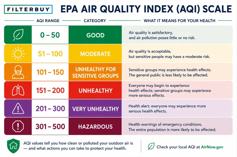
The Air Quality Index (AQI) measures how polluted the air is and how it may affect your health.
0–50 (Good): Air quality is satisfactory.
51–100 (Moderate): Acceptable, but some pollutants may pose minor concerns.
101–150 (Unhealthy for Sensitive Groups)
151–200 (Unhealthy)
201–300 (Very Unhealthy)
301+ (Hazardous)
Moderate
Still okay for most, but if you have asthma or allergies, take it easy and avoid long outdoor workouts.
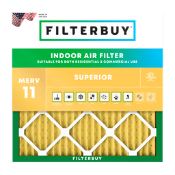
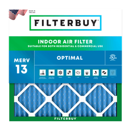
Shop MERV 11 filters→What's the Right Filter for Your AQI Level?


Check Today's Live Real Time Air Quality Index AQI Map in Pembroke Pines, FL Now
By Michelle Wan, Brand Manager and Air Quality Writer. Reviewed by David Clark, Licensed HVAC Technician. Published August 4, 2026. Updated August 4, 2026.
TL;DR
The live map above shows the current Air Quality Index for Pembroke Pines, Florida, using EPA AirNow and Broward County data. The city usually reads Good, between 0 and 50, because Atlantic sea breezes clear the coastal plain daily. The exception matters because the western edge at U.S. 27 borders the Everglades, where dry-season brush fires push smoke into town.
Top Takeaways
Pembroke Pines borders the Everglades at U.S. 27, among the first Broward cities to get brush fire smoke.
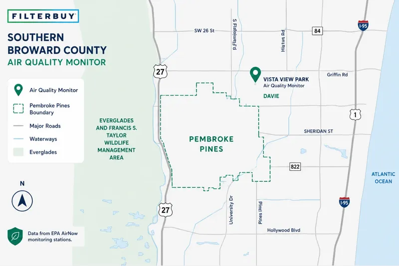
The nearest regulatory monitors sit outside the city. Broward County measures ozone and PM2.5 at Vista View Park in Davie.
A citywide Good reading and a smoky street can coexist. During June 2026's Atlantic Fire, CBS Miami reported the AQI stayed Good while sensors showed elevated fine particles.
Broward County scored a C for short-term particle pollution in the American Lung Association's 2026 State of the Air report, worst in the Miami metro.
Brush fire smoke runs November through May. Saharan dust peaks late June through mid-August.
What's Actually In Pembroke Pines Air Today
The Air Quality Index reports the worst pollutant measured at nearby monitors on a 0 to 500 scale, almost always PM2.5 or ozone. At or below 50 is Good. Between 51 and 100 is Moderate, a caution range for anyone with asthma.
Pembroke Pines benefits from geography most inland cities lack. The Atlantic sea breeze arrives most afternoons and pushes pollutants west, keeping annual averages low. Broward County still carries the metro's worst grade for short-term particle pollution.
Unhealthy days per year: ozone 1.2, particle pollution 1.5. Source: American Lung Association, 2026.
We build the pleated filters that end up in South Florida return vents, so the average days are not the ones that interest us. Check the live map above rather than a seasonal average, and see the Florida statewide AQI map for conditions elsewhere.
Why Pembroke Pines Sits On The Everglades Smoke Line
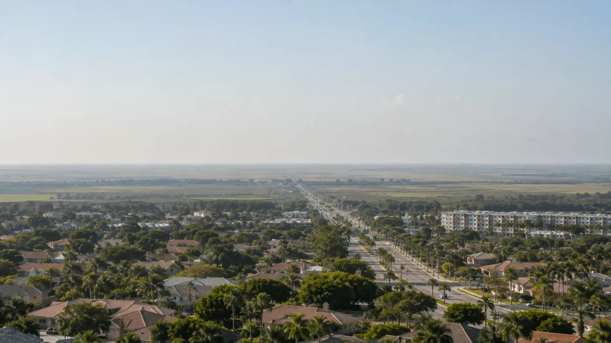
Pines Boulevard runs west and meets U.S. 27, where the Everglades starts. That fact separates Pembroke Pines air quality from every other South Florida city.
Two recent fires show the pattern. In May 2026, the Max Road Fire burned roughly 11,090 acres west of U.S. 27 and Pines Boulevard, and Pembroke Pines crews staged near Holly Lake as smoke drifted east. The Atlantic Fire followed in June with 4,755 acres. NWS Miami warns smoke can cut visibility to three miles. The AirNow Fire and Smoke Map plots plumes and sensor readings together.
Here is the part no national AQI widget will tell you. Broward County's nearest monitors sit outside Pembroke Pines, including Vista View Park in Davie. When a plume moves east on a light northwest wind, a household near U.S. 27 can be inside the smoke while the citywide figure still reads Good. CBS Miami reported that split during the Atlantic Fire.
Trust the map when it shows elevated numbers, and your nose when it does not. Neighbors east see these plumes later, so the Fort Lauderdale AQI page often lags this one.
Where Pembroke Pines Air Quality Data Actually Comes From
Not every air quality reading online comes from an instrument on the ground. Several well-known sites label their Pembroke Pines reading as satellite-modeled, and others run European forecast model output. A model estimates conditions across a wide grid, while a monitor reports what an instrument recorded at one point. Those methods agree on calm days and diverge during a smoke plume. Florida DEP lists all Broward County monitoring sites.
Source: Florida DEP and Broward County records.
We built this table because three sites can show three different numbers for Pembroke Pines on one afternoon. Read the regulatory map as measurement and a sensor as early warning.
The city covers roughly 33 square miles, from the Everglades edge east toward Hollywood. One reading taken outside those limits cannot describe both ends on a smoke day. On the west end, treat the citywide number as a floor.
What High AQI Means For Your Lungs In Pembroke Pines
Fine particles are the concern, not the haze you can see. PM2.5 measures 2.5 micrometers and smaller, thirty times finer than a human hair, and smoke particles appear worse than ordinary urban particles at the same concentration. That size range is what a pleated MERV 13 filter is built to capture.
Residents over 65, residents under 18, and anyone with asthma, COPD, heart disease, or diabetes should watch the number. Past 100, sensitive residents should shorten outdoor exertion. Past 150, everyone should.
The Pembroke Pines Air Calendar
South Florida runs on two seasons, each carrying a different pollutant.
Source: NOAA and Florida Forest Service records.
Late spring is the one stretch when smoke and ozone can arrive on the same afternoon, because the wetlands are still dry and the sun is strong. In April and May, check the dominant pollutant, not just the number.
Dry-season smoke produces the sharpest local spikes because the source sits a few miles west, unlike summer haze tracked by NOAA's Saharan Air Layer research program.
What To Do Indoors When Smoke Moves In
This is the half of the problem we work on. AirNow and Broward County measure the outdoor air. Filterbuy handles what happens after it reaches your vent.
One rule covers most of it. Check the wind along with the number, since a northwest wind puts Pembroke Pines downwind of the Everglades.
Close the windows. Ventilation works against you during smoke.
Run your HVAC system continuously on Fan instead of Auto. On Auto it filters only during cooling cycles.
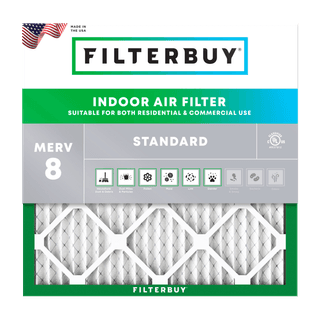
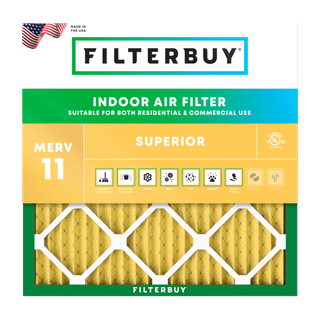
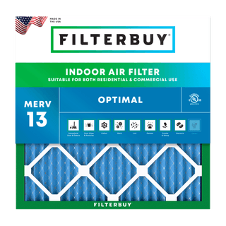
Match the filter to conditions. MERV 8 pleated filters handle dust and pollen, MERV 11 pleated filters add fine dust and dander. The EPA recommends MERV 13 pleated filters during smoke events.
Replace the filter after the event, not on schedule. A smoke episode loads a filter faster than the calendar suggests. Consider automatic filter delivery.
Skip anything that burns. Candles and gas stoves add particles you are removing.
Set vehicle air conditioning to recirculate near U.S. 27 during a fire. See EPA guidance on smoke and heat.
One honest limit. A filter treats air moving through your system. It does not seal a house, and MERV 13 is not HEPA.
Expert Quote
After manufacturing filters for over a decade and serving more than two million households, we have watched how fast indoor air follows outdoor air.
When smoke comes off the Everglades, the mistake I see most is leaving the thermostat on Auto. Switch the fan to On so the system keeps pulling air through the filter, then change that filter once the smoke clears.
David Clark, Licensed HVAC Technician
Author's Note
I write Filterbuy’s air quality pages, and Pembroke Pines changed how I build them. I started assuming the city number was the answer. The monitor closest to Pembroke Pines is not in Pembroke Pines, and on a westerly wind that gap is the whole story.
Michelle Wan, Brand Manager and Air Quality Writer
Seven Sources For Pembroke Pines Air
Know What To Do When Smoke Arrives
Follow the AirNow smoke exposure guidance for next steps.
Understand The Particle Behind Your Reading
Read the EPA particulate matter basics on why particle size matters.
See Every Florida Monitor On One Live Map
Watch the Florida DEP Air Quality Today map to track plumes toward Broward.
Find The Instruments Measuring Your Air
The Broward County air monitoring program names each site and pollutant.
Get The Wind That Decides Where Smoke Goes
Check the National Weather Service Miami forecast before trusting the reading.
Protect The People Who Feel Smoke First
The CDC wildfire smoke safety steps cover children, elders, and chronic conditions.
See How Broward Ranks Nationally
The American Lung Association metro report card explains Broward's C grade.
Supporting Statistics
1. Wildfire Smoke Hits Harder Than Ordinary Particle Pollution
Respiratory hospitalizations rose 1.3 to 10 percent per 10 micrograms per cubic meter of wildfire PM2.5.
Particles from other sources moved the same measure only 0.67 to 1.3 percent at identical size.
Aguilera et al., 2021, Scripps. View the study.
2. Asthma Is Common Across Florida
1 in 8 Florida adults and 1 in 5 Florida children have asthma.
The burden falls harder on children and on low-income communities.
Florida Department of Health. See the asthma data.
3. Nearly Four In Ten Pembroke Pines Residents Are Age-Sensitive
38.8 percent of the city falls into an age group flagged as more sensitive to particle pollution.
Residents 65 and older make up 20.0 percent and those under 18 make up 18.8 percent, roughly 68,000 people.
U.S. Census Bureau. See the QuickFacts table.
Frequently Asked Questions
Glossary
AQI (Air Quality Index). The EPA's 0 to 500 scale reporting the highest pollutant at a monitor.
PM2.5. Fine particulate matter 2.5 micrometers and smaller, the pollutant in smoke.
Ozone (O3). A gas formed when sunlight reacts with vehicle and industrial emissions, highest on hot, low-wind afternoons.
AirNow. The federal air quality reporting system run by the EPA.
Florida DEP Spatial Air Quality System. The Florida DEP map showing current AQI statewide.
Saharan Air Layer. NOAA's term for the dusty air mass crossing the Atlantic each summer.
MERV. Minimum Efficiency Reporting Value, the 1 to 16 particle-capture scale. See how MERV ratings work.
Filterbuy. Maker of this page, producing pleated MERV filters in Talladega, Alabama.