The moment a wildfire starts near you, you'll get an instant alert and simple tips to reduce your smoke exposure.
30xSmaller than a human hair
Fine enough to reach deep into the lungs. A MERV 13 is built to capture it.
It Doesn't Stay Local
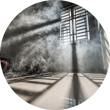
Smoke rides the wind far downwind — you can get smoky air with no fire nearby.
Simple steps to reduce indoor exposure.
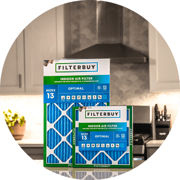
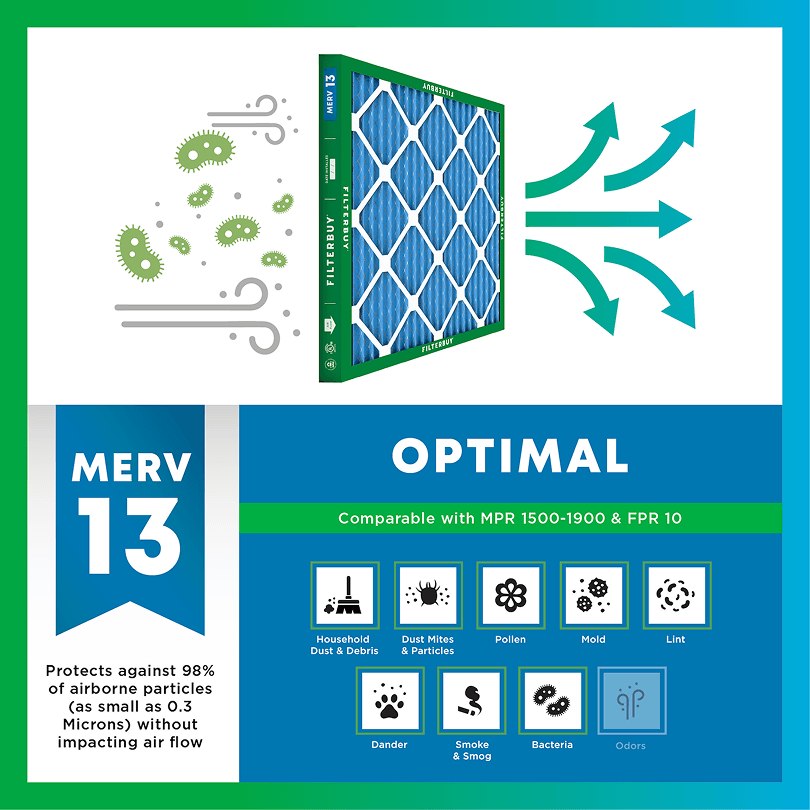
During smoke events, the EPA recommends upgrading to a MERV 13 filter — or the highest-rated filter your system can handle — to help reduce the fine particles smoke brings indoors. MERV 13 is the level most home HVAC systems can run while still capturing PM2.5, the fine particulate that makes up the bulk of wildfire smoke.
Over 70,000 wildfires burn in the U.S. every year.
Wildfire smoke can travel 1,000+ miles, affecting states that aren't even near the blaze.
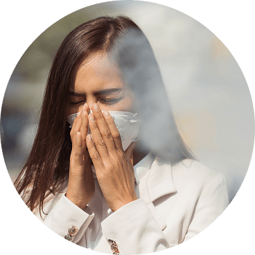
Exposure to wildfire smoke can worsen asthma, trigger heart issues, and lead to ER visits.
Indoor air can hold more fine particles during wildfire events unless it's properly filtered.
The EPA advises using MERV 13 filters or portable HEPA air cleaners during wildfire smoke events.
Use the live wildfire smoke tracker and upgrade your air filters today to protect your lungs and your home.
Shop Filters For Smoke Protection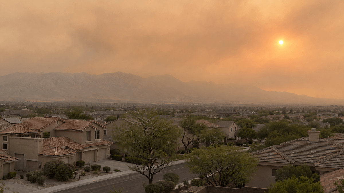
By Michelle Wan · Technically reviewed by David Clark, Licensed HVAC Technician · Published August 21, 2026 · Updated August 21, 2026
Spring Valley is a Las Vegas Valley suburb that rarely burns, yet it breathes smoke from fires hundreds of miles away. The map above shows active fires, and smoke drift alongside the nearest ground-level PM2.5 reading. When it turns orange or worse, close the house, set the HVAC to recirculate, leave the fan running, and fit a MERV 13 filter.
Spring Valley is a census-designated place of roughly 215,600 residents in Clark County, Nevada, sitting about two miles west of the Las Vegas Strip at an elevation of 2,365 feet.
The nearest true conifer forest is the Spring Mountains National Recreation Area, a 316,000-acre unit of the Humboldt-Toiyabe National Forest that rises to Mount Charleston at 11,918 feet.
The AirNow Fire and Smoke Map reports fine particles only, so it never shows ozone, the pollutant behind most Clark County advisories from April through September.
The EPA recommends a MERV 13 filter, or the highest rating your system can handle, paired with continuous fan operation and a closed fresh-air intake.
The live map above stacks three layers: fire detections, smoke coverage, and ground-level particle readings, all from the same federal feed as the AirNow Fire and Smoke Map. Read them in that order, because each answers a different question.
The reading order matters more here than in most cities, because the sky and the monitor disagree so often. Smoke frequently crosses the valley at altitude, browning the light without moving ground-level counts at all.
Spring Valley smoke is almost always somebody else's. The community sits in the Mojave Desert surrounded by creosote scrub rather than timber, so a local fire big enough to smoke out the neighborhood is rare.
The compass below exists because a map tells you smoke has arrived, not whether to plan for an afternoon or a week.
Directional guide, not a forecast. Wind aloft can differ from surface wind. Use it to interpret what the live map already shows.
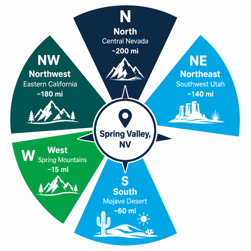
Fires in the Spring Mountains National Recreation Area arrive fastest and heaviest, within hours rather than days. The Carpenter 1 Fire burned 27,881 acres on Mount Charleston in July 2013 and was visible across the metropolitan area, while the Epan Fire on Mount Potosi covered only 77 acres in August 2026 and still put a plume over the southwest valley. To tell whether an episode is local or national, check the National Interagency Fire Center daily fire report.
Air ignores town boundaries. Filterbuy tracks the same conditions on the Las Vegas wildfire and smoke map, North Las Vegas smoke conditions, Henderson air quality tracking, and the statewide Nevada fire and smoke map.
Brown air in Spring Valley is not always wildfire smoke, and the difference changes what you should do about it. The valley runs three distinct warm-season air problems: wildfire smoke, windblown desert dust, and ground-level ozone. A smoke map fully captures only the first.
Confusing those three is the correction we make more than any other. Filterbuy maintains live fire and smoke pages for cities nationwide, and the Las Vegas Valley is one of the few metros where the smoke map can read Good while a county advisory is in force.
You can estimate Spring Valley air quality without any device. Nevada's Division of Environmental Protection publishes a visibility method for estimating air quality that converts how far you can see into an AQI band. Its examples use Carson City peaks, so we built the Spring Valley version below. Calibrate your landmarks on a clear day and face away from the sun.
Visibility bands published by the Nevada Division of Environmental Protection Bureau of Air Quality Planning. Landmark distances computed from the Spring Valley CDP centroid. Calibrate on a clear day and face away from the sun.
When the nearest monitor reads Unhealthy for Sensitive Groups or worse, work through these steps in order. These steps follow current EPA guidance on reducing smoke exposure indoors. Move sooner if anyone in the household falls into one of the groups the CDC identifies as most at risk.
Close the windows and doors and keep them closed. Smoke still finds its way in through gaps and intakes, but sealing the obvious openings is the largest single reduction most homes can make.
Close the fresh-air intake, or set the system to recirculate. Any setting that pulls outdoor air inside is working against you during a smoke event.
Move the thermostat fan from Auto to On. A filter only cleans the air that passes through it, and continuous circulation pushes far more air through the media than an intermittent cooling cycle.
Install a MERV 13 filter, or the highest rating your system can safely handle. Check your owner's manual or ask an HVAC technician first, because some older air handlers are built for lower-resistance media.
MERV 13 is the rating the EPA points to for smoke in most homes. Higher is better where the system tolerates it, though a filter your blower cannot pull air through is worse than a slightly lower rating that fits the equipment. Filterbuy's breakdown of how wildfire smoke moves the Air Quality Index explains what each band should change in your routine.
Editorial synthesis of EPA smoke guidance and Filterbuy standard service life. No proprietary load-testing data is claimed.
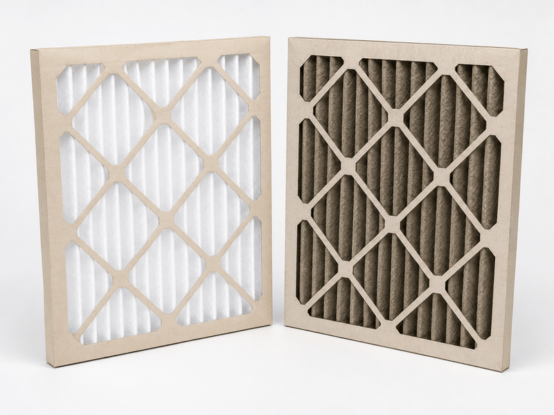
Filterbuy builds its pleated filters to a 90-day service life, so a 30- to 60-day change during heavy smoke is a real acceleration rather than a sales pitch. Check it weekly while smoke lingers, and replace it once the media looks dark gray or brown or smells of smoke, whatever the calendar says.
People in the Las Vegas Valley treat wildfire as somebody else's problem because nothing near them is burning. The smoke does not care. After manufacturing filters for over a decade and serving more than two million households, the pattern is the same every summer: the homes that get through smoke season comfortably installed a MERV 13 before the first plume, not after.
David Heacock, Founder and Chief Executive Officer, Filterbuy
1. Research on wildfire-specific PM2.5 and respiratory hospitalizations found admissions rising 1.3 to 10 percent for every 10 micrograms per cubic meter of wildfire smoke, against 0.67 to 1.3 percent for particle pollution from other sources, which indicates smoke particles are more harmful than ordinary urban PM2.5 at the same concentration.
2. A national analysis of long-term wildland smoke exposure and mortality attributed 11,415 nonaccidental deaths per year in the United States to wildland fire smoke PM2.5, placing the annual toll well above what any single fire season makes visible.
3. Census and geographic records for Spring Valley, Nevada show 215,597 residents across 35.51 square miles at an elevation of 2,365 feet, which means a single valley-wide advisory reaches a population larger than Reno.
Usually no. Spring Valley is a densely built Mojave Desert suburb, so fires inside the community are uncommon. Check the live map above, where fire icons mark detections within roughly 150 miles. Haze with no nearby icon means smoke that travelled in.
Because the map reports fine particles only. The smoke may be passing overhead at altitude, the haze may be blowing desert dust, or the pollutant may be ground-level ozone, which is invisible and never appears on a smoke map.
Check it weekly during an active smoke event. A filter rated for 90 days under normal conditions can load up in 30 to 60 days under heavy smoke, and sometimes faster.
No. Particle filters capture particulate matter, not gases. During an ozone advisory, reduce outdoor exertion in the late afternoon and early evening instead.
The households that ride out smoke season comfortably are prepared before the first plume. Check the size printed on the edge of the filter in your return vent, order a MERV 13 in that size, and keep a spare on the shelf. Filterbuy manufactures pleated MERV 13 filters in hundreds of standard sizes and builds custom sizes to order. Shop 20x25x1 MERV 13 air filters or search for your own size.
PM2.5: Fine particulate matter 2.5 micrometers or less in diameter. PM2.5 is the primary health concern in wildfire smoke.
PM10: Coarse inhalable particles 10 micrometers or less. Blowing desert dust in the Las Vegas Valley is largely PM10.
MERV: Minimum Efficiency Reporting Value, the ASHRAE scale rating how effectively a filter captures particles of specified sizes. Higher numbers capture more.
Ground-level ozone: A gas formed when sunlight reacts with vehicle and industrial emissions. Ozone drives most Clark County summer advisories and is not captured by particle filters.
Subscribe to wildfire smoke alerts for Spring Valley, NV, to get a heads-up before the next event reaches your area.