
Philadelphia, PA Live Wildfire Smoke Map
Get Alerts For Wildfires In Your Area
The moment a wildfire starts near you, you'll get an instant alert and simple tips to reduce your smoke exposure.
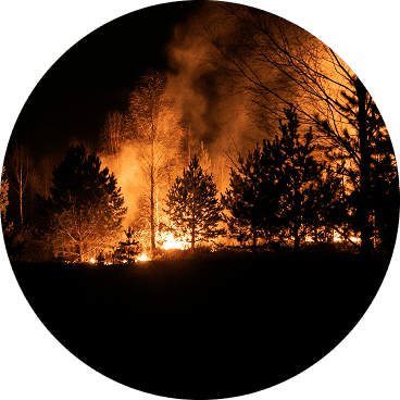
What's In The Smoke
30xSmaller than a human hair
Fine enough to reach deep into the lungs. A MERV 13 is built to capture it.
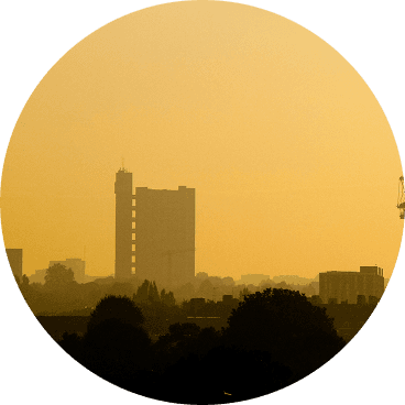
How Far It Travels


It Doesn't Stay Local
Smoke rides the wind far downwind — you can get smoky air with no fire nearby.
What To Do During A Smoke Event
Simple steps to reduce indoor exposure.
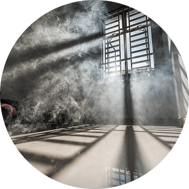
- Stay In, Close UpShut windows and doors to keep smoke out.
- Set Fan To "On"Keeps air cycling through your filter, not just when heating or cooling.
- Recirculate AirSwitch off fresh-air intake so you're not pulling smoke in.
- Run A MERV 13Built to capture the fine PM2.5 in smoke.
- Add A PurifierExtra filtration for the room you use most.
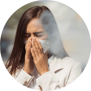
- Wear an N95 if OutsideFits snug to block fine particles — a cloth mask won't.


The Best Air Filter For Wildfire Smoke
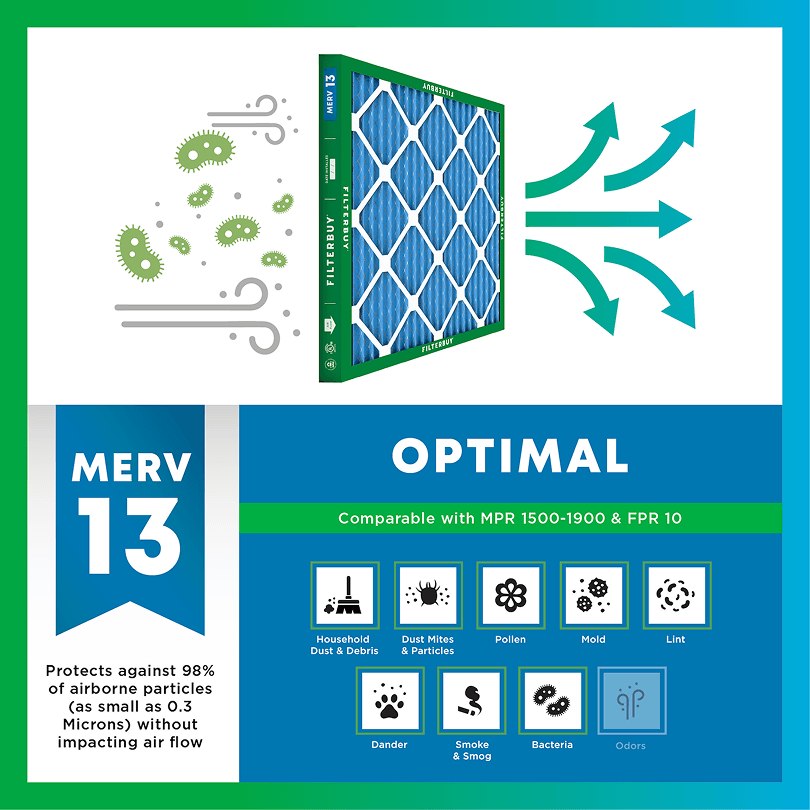
During smoke events, the EPA recommends upgrading to a MERV 13 filter — or the highest-rated filter your system can handle — to help reduce the fine particles smoke brings indoors. MERV 13 is the level most home HVAC systems can run while still capturing PM2.5, the fine particulate that makes up the bulk of wildfire smoke.
- Captures PM2.5 particles
- Blocks ash, soot, and smoke odor
- Keeps your indoor air safe—even when the outdoor air is dangerous
- Meets the EPA's recommended rating for filtering fine wildfire smoke particles.

Wildfire Smoke FAQs
Facts About Wildfires
Over 70,000 wildfires burn in the U.S. every year.
Wildfire smoke can travel 1,000+ miles, affecting states that aren't even near the blaze.
Exposure to wildfire smoke can worsen asthma, trigger heart issues, and lead to ER visits.
Indoor air can hold more fine particles during wildfire events unless it's properly filtered.
The EPA advises using MERV 13 filters or portable HEPA air cleaners during wildfire smoke events.
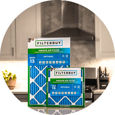
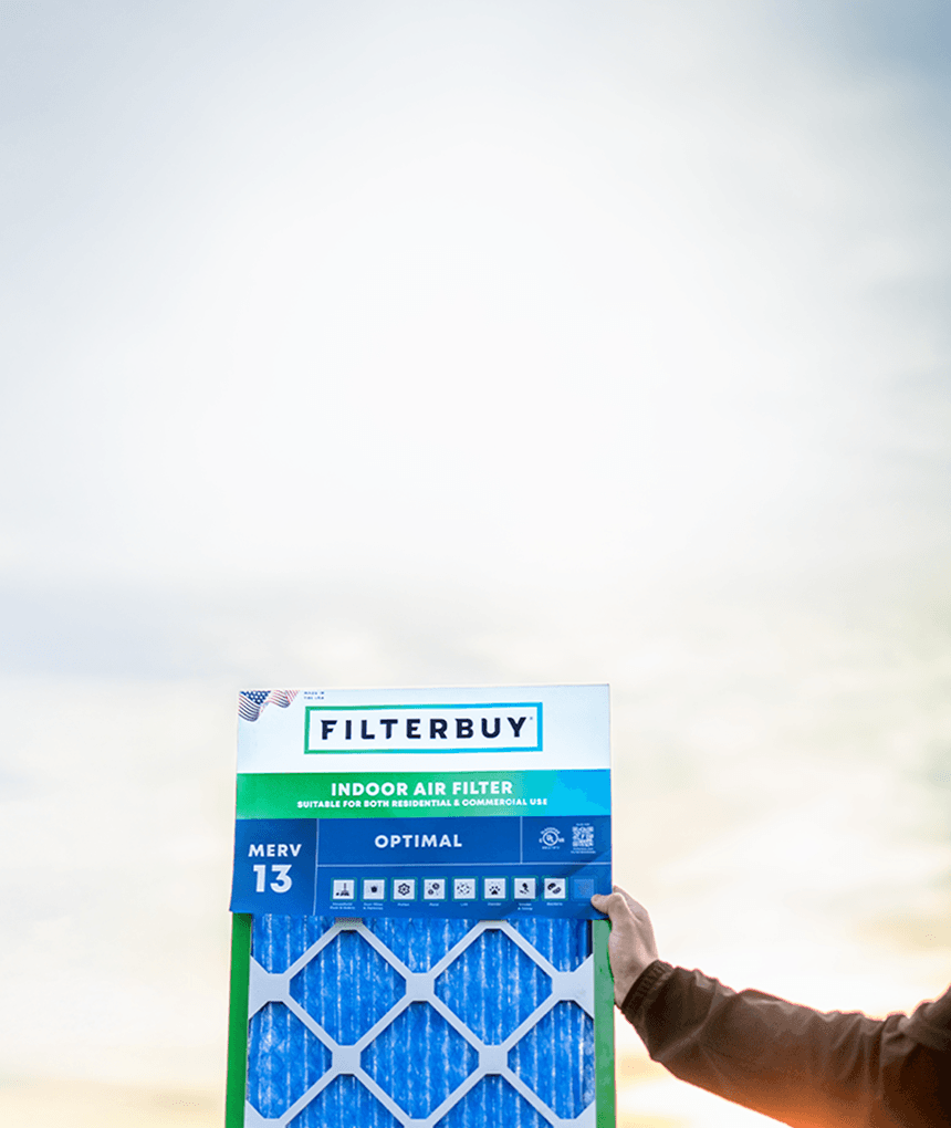
Don't Wait Until The Smoke's Inside.
Use the live wildfire smoke tracker and upgrade your air filters today to protect your lungs and your home.
Shop Filters For Smoke Protection
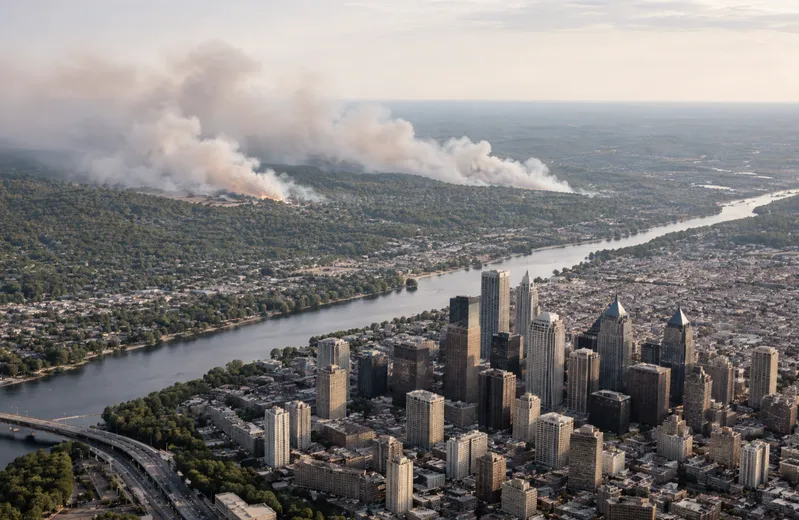
Is Smoke Headed Your Way? Current Live Forest Wildfire and Smoke Map Today in Philadelphia, PA | Real-Time Air Quality Alerts
On days when the sky over Philadelphia turns hazy and the air carries an acrid edge, most people can't name what they're breathing — but they feel it. Wildfire smoke, carried hundreds of miles by upper-level winds from fires burning across the South, Southeast, and Canada, regularly reaches the Delaware Valley with no warning visible to the naked eye.
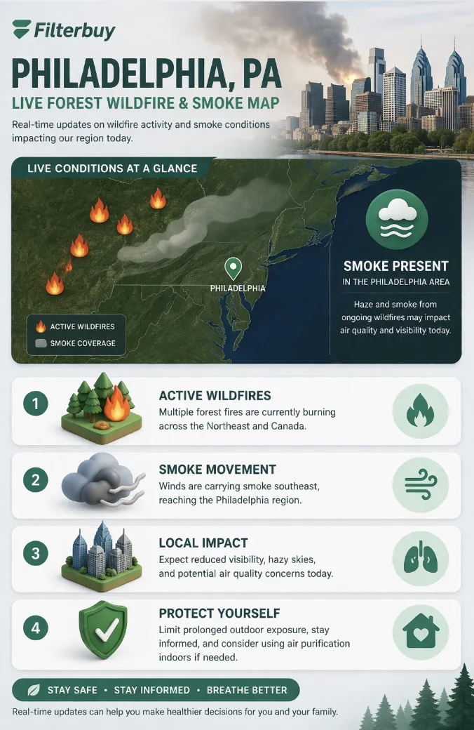
This page delivers the live Philadelphia wildfire and smoke map you need right now, along with real-time AQI readings for neighborhoods across the city, so your family can make informed decisions before stepping outside or opening a window.
The live map above displays fine particle pollution — specifically PM2.5, the microscopic particles that make wildfire smoke so dangerous — pulled from the EPA's AirNow network of over 1,700 monitoring stations across the United States. Color-coded zones correspond directly to the EPA's Air Quality Index scale: green means Good, yellow means Moderate, orange signals Unhealthy for Sensitive Groups, red means Unhealthy for all residents, purple indicates Very Unhealthy, and maroon marks Hazardous conditions.
Alongside the AQI zones, the map shows active fire perimeters and satellite-detected smoke plumes, updated continuously using data from NASA's FIRMS system and NOAA's atmospheric modeling tools. When you click on a monitoring station near your neighborhood — whether you're in Fishtown, Kensington, South Philly, or the surrounding counties of Montgomery, Bucks, Delaware, or Chester — you'll see the current NowCast AQI value along with a recent trend line showing whether conditions are improving or getting worse.
TL;DR Quick Answers
What is the current wildfire smoke level in Philadelphia, PA today?
The live map at the top of this page shows the current real-time Air Quality Index for Philadelphia, updated continuously from EPA AirNow monitoring data. If AQI is above 100, sensitive individuals should limit outdoor activity. If AQI exceeds 150, all residents should keep windows closed and run HVAC with a MERV 13 filter. The map also shows active fire locations and smoke plume movement to indicate whether conditions are likely to improve or worsen in the hours ahead.
Top Takeaways
Wildfire smoke reaches Philadelphia through atmospheric transport — fires hundreds or thousands of miles away can degrade local air quality within 24 to 48 hours.
The EPA AQI scale runs from 0 (Good) to 500+ (Hazardous). Any reading above 100 warrants protective action, especially for children, seniors, and those with respiratory or cardiovascular conditions.
MERV 13 is the minimum effective filter rating for capturing fine wildfire smoke particles in a residential HVAC system. Lower-rated filters allow PM2.5 to pass through largely uncaptured.
Wildland fires accounted for 52% of all PM2.5 emitted in the U.S. in 2020, according to the EPA's 2020 National Emissions Inventory — making them the country's single largest source of fine particle pollution.
The live Philadelphia fire and smoke map, powered by EPA AirNow and NASA FIRMS data, is the most reliable tool available for real-time air quality monitoring in the Philadelphia metro area.
What Philadelphia's AQI Level Means for Your Family
Philadelphia families encounter wildfire smoke differently than those in western states, where fires are visible and local. Here, the threat is invisible and atmospheric. Smoke arrives silently in the upper airstream, descends, and mixes into the air your children are breathing at recess and your elderly neighbors are experiencing on their front steps.
The EPA's six AQI categories each carry a different household action:
Good (0–50): Air quality is satisfactory. Normal outdoor activities are safe.
Moderate (51–100): Acceptable air quality, but sensitive individuals should consider reducing prolonged outdoor exertion.
Unhealthy for Sensitive Groups (101–150): People with asthma, heart disease, children, and older adults should limit outdoor activity. Close windows and run HVAC with a quality filter.
Unhealthy (151–200): All residents may experience health effects. Keep windows closed. Run your HVAC system on recirculate if possible.
Very Unhealthy (201–300): Health alert for the general public. Avoid outdoor activity. Stay indoors and run air filtration.
Hazardous (301+): Emergency health conditions. Everyone should remain indoors, seal gaps around doors and windows, and use a MERV 13 or higher air filter in your HVAC system.
Why Wildfire Smoke Reaches Philadelphia
Most Philadelphia residents are surprised to learn that a fire burning in North Carolina, Georgia, or Ontario, Canada can degrade the air quality in Center City within 24 to 48 hours. This isn't unusual — it's atmospheric physics. Fine PM2.5 particles are small enough to remain suspended in the upper atmosphere for days and travel thousands of miles on prevailing winds before descending to ground level.
The Northeast has experienced notable smoke events from Canadian wildfires — most significantly in June 2023, when a historic fire season across Quebec and Ontario blanketed Philadelphia and the surrounding region in orange haze, pushing AQI levels into the Unhealthy and Very Unhealthy categories for multiple consecutive days. NOAA's atmospheric modeling and satellite imagery now allow forecasters to track smoke plumes with precision and issue alerts days before smoke arrives. Checking the live wildfire smoke map for Pennsylvania and Philadelphia is the single fastest way to know what's coming before it arrives.
How to Protect Indoor Air Quality During a Philadelphia Smoke Event
After manufacturing air filters for over a decade and serving more than two million households across the United States, we've watched families make the same understandable mistake during smoke events: they stay indoors and assume they're safe. The reality is more complicated. Wildfire smoke infiltrates homes through HVAC fresh air intakes, gaps around windows and doors, and ventilation fans — often making indoor air quality comparable to, or worse than, what's outside.
Here's what works when the Philadelphia smoke map is showing orange or red:
Switch your HVAC to recirculate mode to stop drawing smoky outdoor air inside.
Install a MERV 13 air filter in your HVAC system. At this rating, a filter captures fine particles in the PM2.5 range — the primary health hazard in wildfire smoke. Filters rated below MERV 13 allow these particles to pass through largely unimpeded.
Seal gaps around doors and windows with weatherstripping or towels during high-AQI periods.
Avoid indoor sources of particulate matter like candles, frying, and vacuuming, which compound particle levels when outdoor smoke is already infiltrating.
Monitor the map continuously during active smoke events — conditions can shift from Moderate to Unhealthy within hours as plumes move.
"In our experience working with millions of households, the most critical and most overlooked factor during wildfire smoke events is filter rating. We consistently see that filters rated below MERV 13 allow fine particulate matter to pass through with very little resistance — the particles are simply too small for lower-rated media to capture effectively. When a smoke event is pushing Philadelphia's AQI above 150, the filter already in your HVAC system may be doing almost nothing to protect the air inside your home. MERV 13 is where meaningful protection actually begins."
7 Essential Resources for Tracking Wildfire Smoke in Philadelphia, PA
Knowing where to look for accurate, up-to-date information is the first step in protecting your family. Each of the resources below is maintained by a federal, state, or municipal agency and provides free, publicly accessible air quality data for Philadelphia and the surrounding region.
EPA AirNow Fire and Smoke Map — Real-Time PM2.5 and Fire Location Data
The AirNow Fire and Smoke Map is the single most useful starting point for any Philadelphia family monitoring wildfire smoke. Built jointly by the EPA and the U.S. Forest Service, it pulls from over 1,700 regulatory air monitors, temporary field monitors, and thousands of low-cost sensors to display PM2.5 levels in near-real time. The map overlays active fire locations, satellite-captured smoke plumes, and Smoke Outlook forecasts issued by Air Resource Advisors during major events. For Philadelphia residents watching smoke push in from fires burning in the South or Canada, this is the first tab to open. The NowCast AQI values update continuously — and the plume visualization shows you not just what's happening now, but where smoke is moving.
Source: https://fire.airnow.gov
AirNow.gov — Philadelphia AQI Readings and Air Quality Forecasts
AirNow.gov is the EPA's primary public air quality platform — and for Philadelphia residents, it does something the national fire map doesn't: it gives you a street-level forecast. Enter your ZIP code and you get the current AQI for your neighborhood, an hourly trend line showing whether conditions are improving or worsening, and a next-day forecast so you can plan school drop-off, outdoor workouts, or a backyard gathering before conditions deteriorate. The platform also hosts EnviroFlash, a free email alert service that sends a notification directly to your inbox when Philadelphia's AQI hits action levels. We tell every household we work with to set that alert before wildfire season — not during it.
Source: https://www.airnow.gov
NASA FIRMS — Active Fire Detection Across the U.S. and Canada
NASA's Fire Information for Resource Management System is the most granular fire detection tool available to the public. FIRMS delivers near-real-time active fire data from MODIS and VIIRS satellite instruments, updated every few minutes, allowing users to see active fire hotspots across North America on an interactive map. For Philadelphia residents, this tool answers the question the AQI map doesn't: where exactly is the smoke coming from? During the June 2023 Canadian wildfire events, FIRMS gave forecasters early visibility into the scope of the Quebec and Ontario fire complex days before the orange haze reached Philadelphia's skyline. When FIRMS shows clusters of active fire detections in eastern Canada or the Appalachian corridor, check your AQI map next — smoke typically follows within 24 to 48 hours.
Source: https://firms.modaps.eosdis.nasa.gov/map/
NOAA Air Quality Forecast Guidance — 72-Hour Smoke Movement Predictions
NOAA's Air Quality Forecast Guidance at airquality.weather.gov gives Philadelphia residents something no real-time map can: a look ahead. The forecasts, now extending up to 72 hours, are generated by NOAA's CMAQ model and updated twice daily — early enough to change plans, swap an HVAC filter, or prepare a clean air room before smoke from a distant fire descends over the Delaware Valley. State and local agencies that provide localized air quality forecasts use NOAA's predictions as guidance for their own products and services. When NOAA's smoke transport maps show a plume from fires in the Carolinas or Ontario moving toward the Northeast, Philadelphia families have a meaningful window to act — not react.
Source: https://airquality.weather.gov
Pennsylvania DEP Air Quality Index — Statewide Real-Time Monitoring Data
Pennsylvania's Department of Environmental Protection maintains COPAMS, a network of 44 remote monitoring stations spread across the state's 13 air basins, measuring particulate matter, ozone, and other pollutants hourly. The DEP's AQI page breaks readings down by region — including Southeast Pennsylvania, which covers Montgomery, Bucks, Chester, and Delaware counties surrounding Philadelphia. Note that Philadelphia city itself is monitored separately by the city's own Department of Public Health (see Resource 6 below). AQI reports update every hour at half past the hour, giving residents in the surrounding counties a state-sourced reference point to cross-check against federal AirNow data during smoke events.
Philadelphia Department of Public Health — Local Air Quality Monitoring and Health Guidance
For Philadelphia residents, this is the most locally authoritative air quality source available. The Department of Public Health operates an ambient air monitoring network of ten permanent stations positioned across the city — from Northeast Philadelphia to South Philadelphia — designed to capture geographic variation in air quality conditions. The network's Air Management Services team collects real-time data and issues public health guidance specific to Philadelphia during elevated air quality events, including wildfire smoke incursions. The page also links directly to the AirNow Fire and Smoke Map and provides historical air pollution data for the city. During the June 2023 Canadian smoke event, this was one of the few sources providing Philadelphia-specific readings rather than regional averages.
Source: https://www.phila.gov/services/mental-physical-health/environmental-health-hazards/air-quality/
EPA — Wildfires and Indoor Air Quality: Protecting Your Home
Most Philadelphia homeowners know to close their windows when smoke is in the air. What the EPA's wildfire indoor air quality guidance covers is everything that happens after you do: how smoke still gets in through HVAC fresh air intakes, ventilation gaps, and infiltration paths most households never think about. The EPA recommends upgrading to a MERV 13 or higher rated filter if your system can accommodate it, and switching the HVAC system to recirculate mode to stop drawing smoky outdoor air inside. The page also covers portable air cleaner sizing, how to build a clean air room in a single space of your home during extended smoke events, and guidance on when it's safe to open windows again. Required reading for any Philadelphia homeowner before fire season begins — not something to find for the first time at 11 PM when the AQI alert arrives.
Source: https://www.epa.gov/emergencies-iaq/wildfires-and-indoor-air-quality-iaq
Key Statistics on Wildfire Smoke and Air Quality
The numbers behind wildfire smoke exposure reframe what many Philadelphia families still treat as a distant, western states problem. After serving households from coast to coast, we've found that data is often the most effective tool for making the invisible visible — and these three statistics do exactly that.
Wildfires Are Now the Single Largest Source of PM2.5 in the United States
According to the EPA's 2020 National Emissions Inventory, wildland fires accounted for 52% of all PM2.5 emitted in the United States that year — making wildfires the nation's dominant source of fine particle air pollution. From our perspective working with filter engineers who track particulate load data across product lines, this shift has been measurable in demand patterns: more households than ever are reaching for higher MERV-rated filters not just during obvious smoke events, but year-round, because the baseline PM2.5 burden in ambient air has risen in ways that even non-wildfire seasons now reflect.
Source: https://www.epa.gov/air-research/wildland-fire-research-reducing-exposures
Wildfire Smoke Accounts for 94% of All Days That Exceed the PM2.5 Health Standard
Analysis of PM2.5 and satellite smoke data across approximately 600 U.S. air monitoring stations from May through September 2018 to 2023 found that smoke days accounted for 94% of all days that exceeded the EPA's daily PM2.5 health standard of 35 micrograms per cubic meter. That figure reframes what many people think of as a general air quality problem: the worst days for fine particle pollution in this country are almost exclusively wildfire smoke days. For Philadelphia families, this means that the days your outdoor AQI spikes to Unhealthy levels are far more likely to be driven by a distant fire than by local industrial sources or traffic — invisible causes requiring invisible solutions.
Source: https://pubs.acs.org/doi/full/10.1021/acs.est.4c05870
Fine Wildfire Smoke Particles Can Travel Hundreds to Thousands of Miles
The EPA notes that PM2.5 fine particles can remain airborne for long periods and travel hundreds of miles — and in major wildfire events, plumes routinely cross entire regions and national borders before descending to ground level. We saw this play out directly in June 2023, when Canadian wildfire smoke reached Philadelphia and turned the skyline orange. The practical implication for homeowners: wildfire smoke is no longer a regional threat. When fires burn anywhere in the eastern half of North America, Philadelphia's air quality is potentially in the path — which is why a live wildfire smoke map and a current AQI reading should be part of every family's morning routine during fire season.
Source: https://www.epa.gov/emergencies-iaq/wildfires-and-indoor-air-quality-iaq
Final Thoughts: Wildfire Smoke in Philadelphia Is a Year-Round Conversation Now
There was a time when wildfire smoke was someone else's problem — a California story, a Colorado headline. That time has passed. The June 2023 smoke event that turned Philadelphia's sky a shade of amber its residents had never seen before wasn't an anomaly. It was a preview. Atmospheric scientists and air quality forecasters are clear that as fire seasons expand in intensity and duration across North America, the Northeast will continue to receive transported smoke with greater frequency and in higher concentrations.
What that means practically for Philadelphia families is straightforward: the same seasonal preparedness mindset that applies to hurricane readiness or winter weather should now apply to wildfire smoke. Check the live map. Know your AQI thresholds. Have a MERV 13 filter in your HVAC system before you need it. Protecting your family's air doesn't require waiting for an orange sky — it starts with knowing what's already invisible in the air around you.
Our opinion, grounded in a decade of filter manufacturing and millions of households served: the gap between families who are protected during a Philadelphia smoke event and those who aren't is almost always a single filter rating. MERV 13 is not a premium upgrade. It's the baseline. Anything below it during a serious smoke event is not doing the job it was installed to do.
Next Steps
Check the live Philadelphia wildfire and smoke map above for current AQI readings in your neighborhood.
If AQI is orange (101–150) or higher, keep windows and doors closed and switch your HVAC to recirculate mode to stop drawing outdoor air inside.
Check your HVAC filter rating. If it's below MERV 13, consider replacing it before the next smoke event — not during one.
Sign up for free air quality alerts through EPA AirNow's EnviroFlash service at airnow.gov so you receive email notifications when Philadelphia AQI reaches action levels.
Bookmark this page and return any time wildfire smoke events are reported near Pennsylvania, the Mid-Atlantic, or eastern Canada.
Frequently Asked Questions
Protect the Air Inside Your Philadelphia Home
The live map tells you what's happening outside. What it can't tell you is what's already inside your home — because without the right filter, wildfire smoke doesn't stop at your front door. A MERV 13 air filter is the most direct, cost-effective step a Philadelphia homeowner can take to reduce the PM2.5 fine particles that infiltrate through HVAC systems during smoke events.
After manufacturing air filters for over a decade and serving more than two million households, we've built every MERV 13 filter to the same exacting standard we apply to every filter in our lineup: precision-cut to your exact HVAC size, manufactured in the United States, and delivered directly to your door. When the wildfire smoke map is showing orange over Philadelphia, the best time to have already upgraded your filter was yesterday. The second-best time is now.
Find Your MERV 13 Filter Size at Filterbuy.com — Better Air For All.