The moment a wildfire starts near you, you'll get an instant alert and simple tips to reduce your smoke exposure.
30xSmaller than a human hair
Fine enough to reach deep into the lungs. A MERV 13 is built to capture it.
It Doesn't Stay Local
Smoke rides the wind far downwind — you can get smoky air with no fire nearby.
Simple steps to reduce indoor exposure.
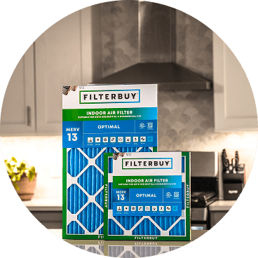
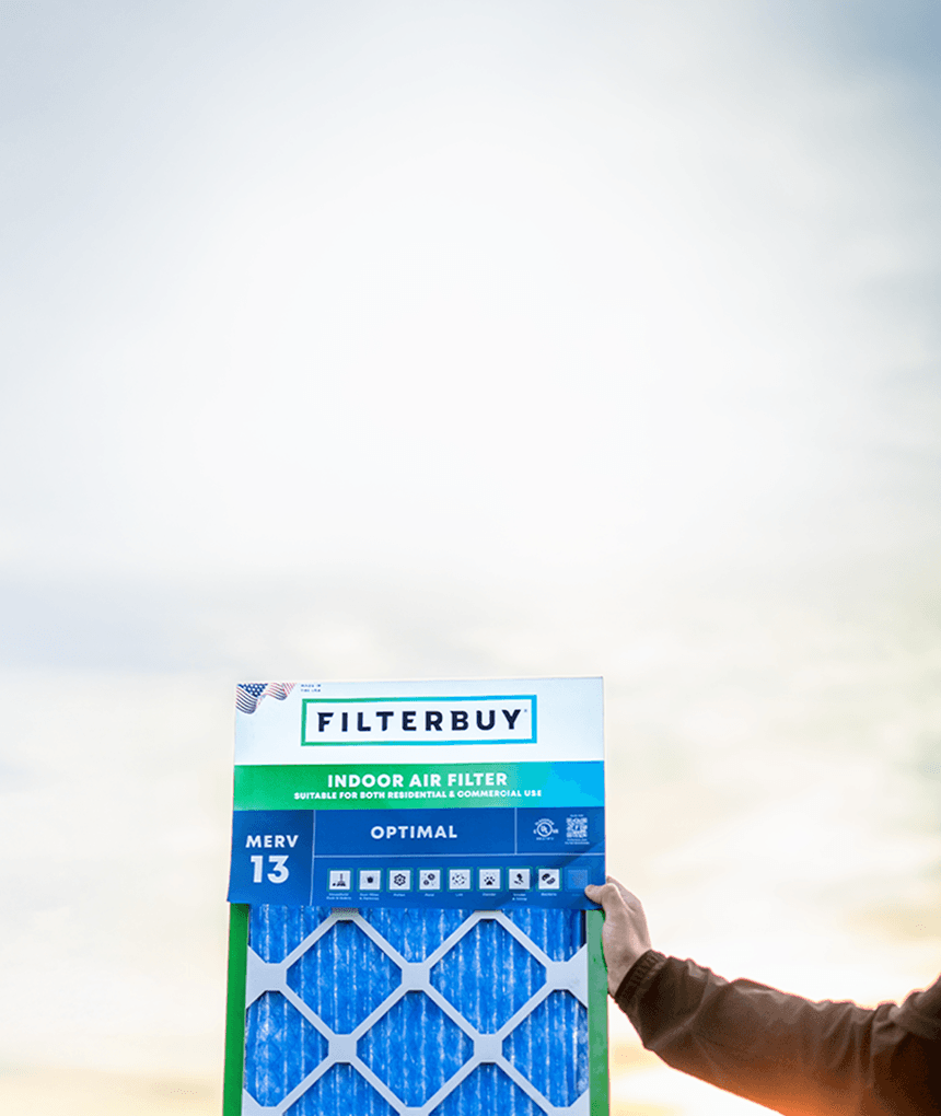
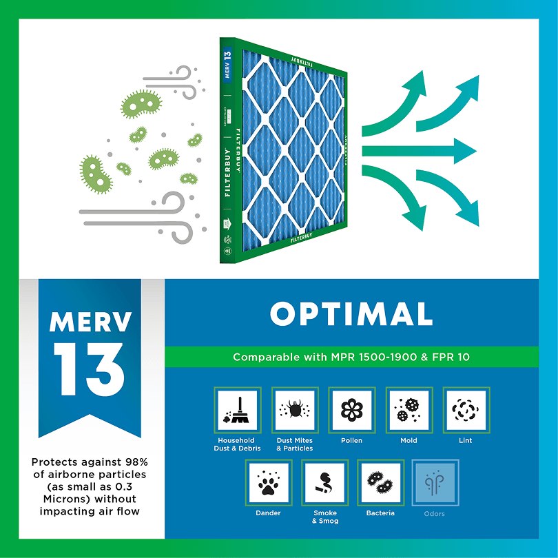
During smoke events, the EPA recommends upgrading to a MERV 13 filter — or the highest-rated filter your system can handle — to help reduce the fine particles smoke brings indoors. MERV 13 is the level most home HVAC systems can run while still capturing PM2.5, the fine particulate that makes up the bulk of wildfire smoke.
Over 70,000 wildfires burn in the U.S. every year.
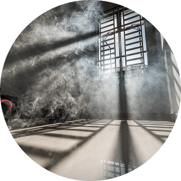
Wildfire smoke can travel 1,000+ miles, affecting states that aren't even near the blaze.
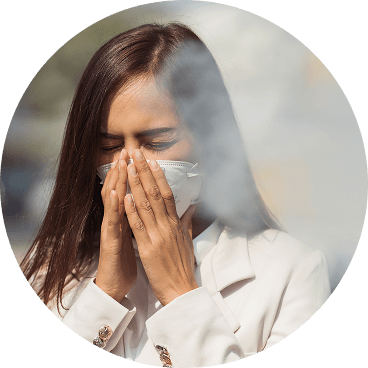
Exposure to wildfire smoke can worsen asthma, trigger heart issues, and lead to ER visits.
Indoor air can hold more fine particles during wildfire events unless it's properly filtered.
The EPA advises using MERV 13 filters or portable HEPA air cleaners during wildfire smoke events.
Use the live wildfire smoke tracker and upgrade your air filters today to protect your lungs and your home.
Shop Filters For Smoke Protection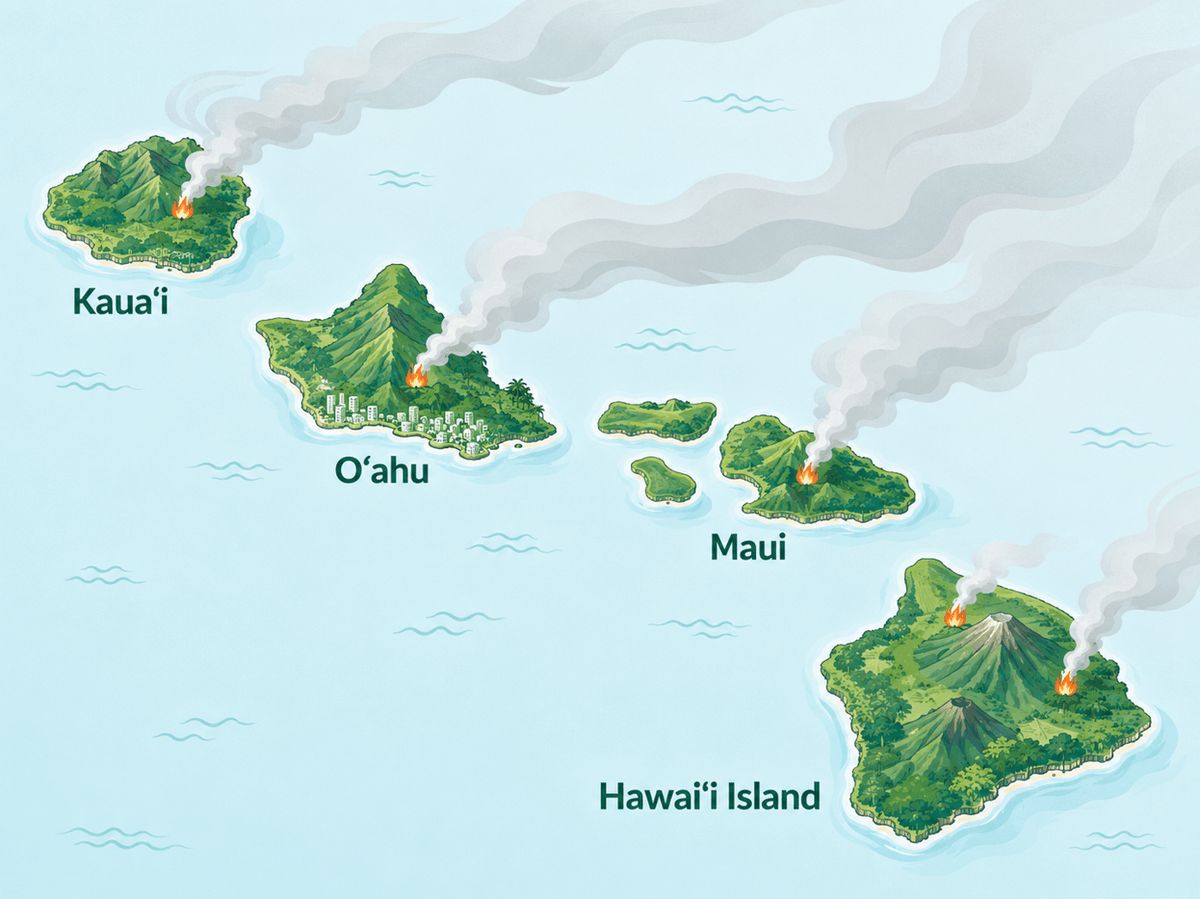
By Michelle Wan, Air Quality Writer | Reviewed by David Clark, Licensed HVAC Technician | Published: July 28, 2026 | Updated: July 28, 2026
Hawaii's dry season runs through the fall. As Filterbuy, an air filter manufacturer, we built this page to make invisible smoke and vog exposure visible before it reaches your lungs. Check today's conditions, then see what to do.
This page shows a live map of wildfire and smoke conditions across Hawaii today, plus the current statewide air quality picture. Hawaii is in dry season, and NIFC raised the national preparedness level to Level 5, its highest stage, on July 18, 2026. Use the map to check for fires and smoke near you, then use the comparison below to tell wildfire smoke apart from vog. If your air quality turns unhealthy, close your windows, set your HVAC to recirculate, and upgrade to MERV 13 or higher.
Hawaii is in its dry season, and NIFC set the national preparedness level to Level 5 on July 18, 2026.
The live map below tracks active wildfires, smoke plumes, and air quality across all four counties.
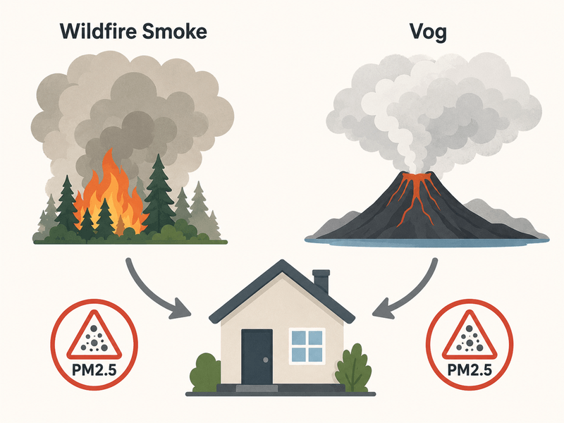
Wildfire smoke and vog look similar but differ in source: smoke from vegetation, vog from Kīlauea's SO2.
Ninety-nine percent of Hawaii wildfires start from human activity, per Honolulu Fire Department.
See the AQI action list below for exactly what to do at each level.
Filterbuy's map above shows active wildfire locations, smoke plume movement, and nearby air quality readings across all four islands, updated continuously from official monitors. Zoom into your island for the closest reading. Even without visible haze, stay cautious. Fine particles build up before you notice them.
Find your island, then zoom to your neighborhood.
Look for flame icons marking fire detections.
Check the gray shaded areas showing drifting smoke.
Read the colored dot closest to you for the AQI reading.
When readings disagree, trust the official monitor, and act on the higher number.
For every icon and color, see our guide on how to read a wildfire smoke map.
Once you have a number from the map, here is the specific action it calls for.
AQI 0 to 50 (Good): Normal outdoor activity, standard filter is fine.
AQI 51 to 100 (Moderate): Sensitive groups should watch for symptoms outdoors.
AQI 101 to 150 (Unhealthy for Sensitive Groups): Limit outdoor exertion, upgrade to MERV 13.
AQI 151 to 200 (Unhealthy): Stay indoors, run MERV 13 or higher on recirculate.
AQI 201 and up (Very Unhealthy to Hazardous): Set up a clean air room with a HEPA purifier.
Hawaii is in the middle of dry season, and vegetation from an unusually wet winter has dried into fuel for fire. On July 18, 2026, NIFC raised the National Preparedness Level to Level 5, its highest stage. Rely on the live map above for today's specifics.
Both hazards affect indoor air the same way, so the same filtration steps apply to either one.
Most guides treat vog and wildfire smoke as separate emergencies with separate playbooks. Once you see what each does to your lungs and HVAC intake, that split stops making sense.
Risk on each island comes from a different source, not one hazard drifting around the chain.
Oʻahu: Wildfire risk concentrates in dry areas around Waiʻanae and the North Shore. Vog occasionally drifts across when trade winds shift. Check the live map above, or see Honolulu's live AQI map for a closer look at Oʻahu.
Maui: Leeward brushland on the west and south sides carries the highest risk, the terrain in the 2023 fires.
Hawaiʻi Island: Faces risk in dry pastureland and the most direct vog exposure, closest to Kīlauea.
Kauaʻi: Lowest wildfire and vog exposure of the four counties, though brush fires still occur.
Most travel to Hawaii continues as normal in dry season, since wildfire activity is typically localized. Check the live map above, and sign up for alerts if risk runs high.
Avoid adding indoor pollution. Skip frying, candles, and vacuuming until conditions clear.
Check your filter more often during smoke or vog events, since it clogs faster.
Ready to upgrade? Shop MERV 13 air filters sized for your system from Filterbuy.
Hawaii's approach to wildfire changed after August 2023, when Maui fires became the deadliest U.S. wildfire disaster in over a century, destroying Lahaina. That is why the state now runs an annual Wildfire LOOKOUT! campaign. Small precautions, like fully extinguishing campfires, prevent most wildfires before they start.
After manufacturing filters for over a decade and serving more than two million households, we've learned that families who check conditions before smoke or vog arrives are always the ones who stay comfortable indoors.
David Heacock, Founder and CEO of Filterbuy
A live map alone will not answer what Hawaiʻi searchers want to know: is that haze vog, or is it fire? These seven together do.
Source: AirNow Fire and Smoke Map. The live EPA and USFS map layers fires and air quality.
Source: Hawaiʻi Emergency Management Agency, Live Fire Maps and Cameras. The state's dashboard, with live cameras built in.
Source: Watch Duty, Interactive Fire Map. Human-verified tracking, a check against AirNow.
Source: National Interagency Fire Center, National Fire News. Today's preparedness level and fire count.
Source: Hawaiʻi Interagency Vog Information Dashboard. Current vog data a fire-only map misses.
Source: CDC, Safety Guidelines for Wildfires and Wildfire Smoke. Clear health guidance for smoke events.
Source: Ready.gov, Wildfires. Federal guidance for an evacuation.
90% Of Time Is Spent Indoors: Some pollutants run 2 to 5 times higher indoors.
Source: EPA, Report on the Environment: Indoor Air Quality
75 Million Americans Affected In One Month: Canadian wildfire smoke pushed U.S. air to unhealthy or hazardous levels in June 2023.
Source: American Lung Association, Why Wildfire Smoke Is Now a Nationwide Issue
Up To 10% More Respiratory Hospitalizations: A 10 μg/m³ PM2.5 rise from wildfire smoke raises hospitalizations 1.3% to 10%, versus 0.67% to 1.3% otherwise.
Hawaii faces two air hazards at once, wildfire smoke and vog, and most residents prepare for only one.
The live map above and today's Level 5 preparedness stage show dry-season wildfire risk is real and growing.
Vog is the hazard most households already know how to watch for.
Wildfire risk gets less daily attention, though it can spike faster.
In Filterbuy's experience helping Hawaii households with indoor air, the real blind spot is not the map. It is treating vog and wildfire season as separate problems needing separate plans. We do not think that split earns its complexity, since the indoor fix is identical.
Vog builds slowly with the trade winds, so people watch for it.
Wildfire risk spikes fast, often from one spark on a dry, windy afternoon, and it does not wait.
Both call for the same fix: the live map, an AQI check, and a MERV 13 filter installed before conditions turn.
The households that stay comfortable are not the fastest to react. They never had to.
Check the live map above for today's fire and smoke locations. Conditions change hourly.
Wildfire smoke comes from vegetation fires, peaking in dry season. Vog is volcanic haze from Kīlauea, worst when winds shift.
Leeward, drier areas on Maui and Hawaiʻi Island carry the highest risk, with direct vog exposure too.
Most travel continues as normal, since wildfire activity is typically localized, not statewide. Check the live map and follow local authorities.
MERV 13 or higher captures fine smoke particles.
Continuously. Confirm evacuation orders through HIEMA.
You have just checked today's live map for Hawaii from Filterbuy. Pair that with a MERV 13 filter already installed, and smoke, vog, and dust stop reaching the air you breathe.
AQI (Air Quality Index): EPA's 0 to 500 scale, green (good) to maroon (hazardous).
PM2.5: Fine particulate matter 2.5 microns or smaller, smoke's main harmful part.
Vog: Volcanic smog, a mix of sulfur dioxide and fine particles from Kīlauea.
MERV Rating: Minimum Efficiency Reporting Value, a 1 to 16 scale. MERV 13 is the EPA's smoke minimum.
National Preparedness Level (PL): A 1 to 5 NIFC scale for firefighting readiness.
HIEMA: The Hawaiʻi Emergency Management Agency, lead alerts agency.
Subscribe to wildfire smoke alerts for Hawaii to get a heads-up before the next event reaches your area.