The moment a wildfire starts near you, you'll get an instant alert and simple tips to reduce your smoke exposure.
30xSmaller than a human hair
Fine enough to reach deep into the lungs. A MERV 13 is built to capture it.
It Doesn't Stay Local
Smoke rides the wind far downwind — you can get smoky air with no fire nearby.
Simple steps to reduce indoor exposure.
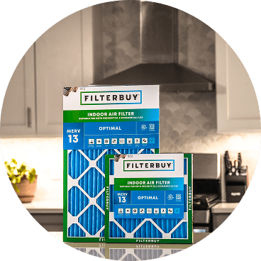
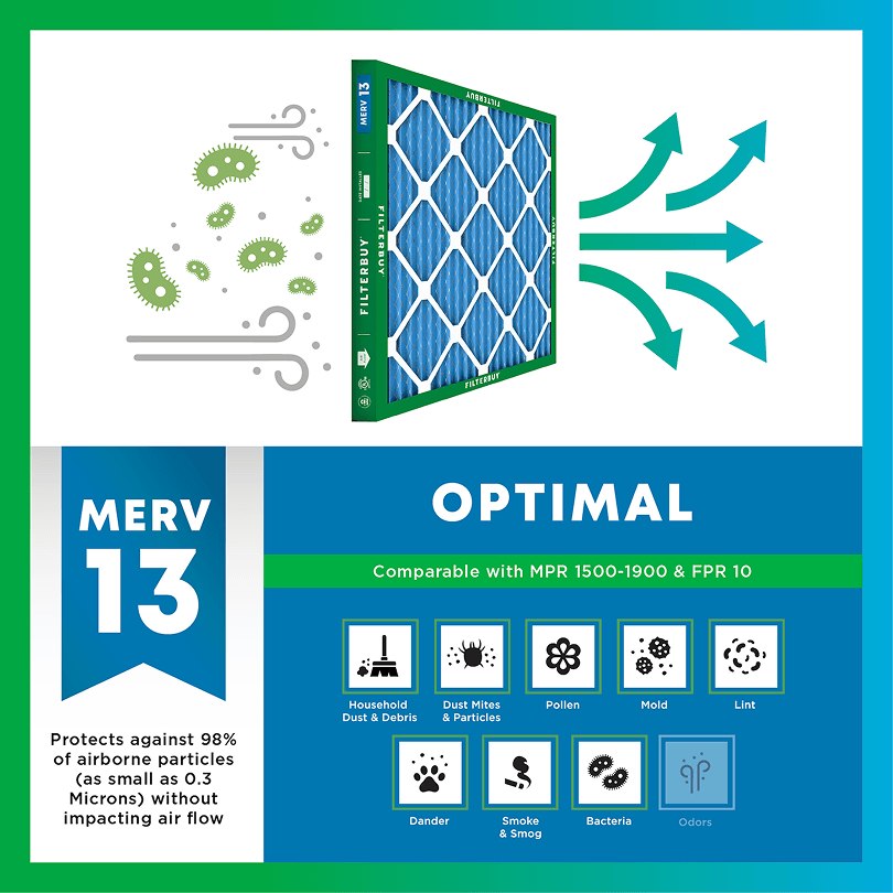
During smoke events, the EPA recommends upgrading to a MERV 13 filter — or the highest-rated filter your system can handle — to help reduce the fine particles smoke brings indoors. MERV 13 is the level most home HVAC systems can run while still capturing PM2.5, the fine particulate that makes up the bulk of wildfire smoke.
Over 70,000 wildfires burn in the U.S. every year.
Wildfire smoke can travel 1,000+ miles, affecting states that aren't even near the blaze.
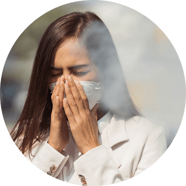
Exposure to wildfire smoke can worsen asthma, trigger heart issues, and lead to ER visits.
Indoor air can hold more fine particles during wildfire events unless it's properly filtered.
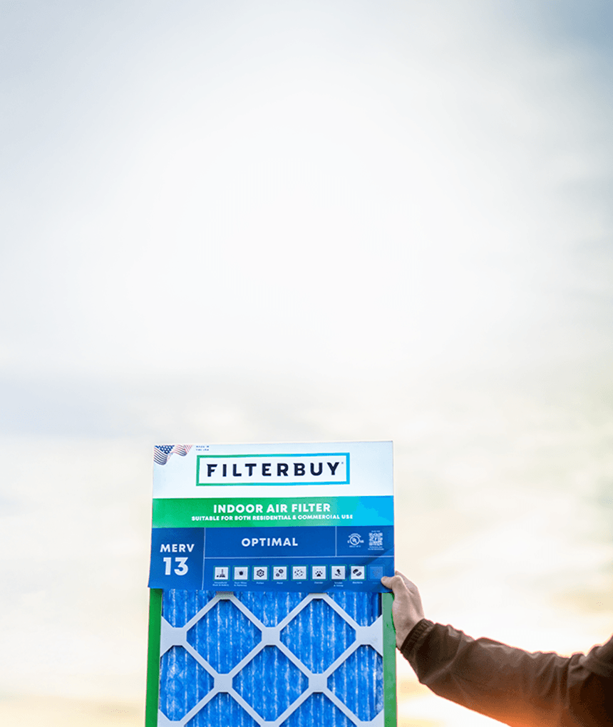
The EPA advises using MERV 13 filters or portable HEPA air cleaners during wildfire smoke events.
Use the live wildfire smoke tracker and upgrade your air filters today to protect your lungs and your home.
Shop Filters For Smoke Protection
By Michelle Wan, Brand Manager & Air Quality Writer
Reviewed By: David Clark, Licensed HVAC Technician
Published: August 16, 2026 | Updated: August 16, 2026
The live Alabama wildfire and smoke map above combines satellite fire detections, NOAA smoke-plume outlines, and ground-level PM2.5 readings that set your local AQI color. Alabama averages roughly 4,000 wildfires and 40,000 burned acres a year, and its season peaks in late winter and again in late fall, the reverse of the Western summer season. When your county turns orange or worse, the fastest fix indoors is a MERV 13 filter with the HVAC fan set to "On."
Alabama has two wildfire seasons, not one. Activity peaks February–May and again October–December, driven by cured leaf litter rather than summer drought, so national advice to upgrade a filter in May follows a Western calendar.
An empty fire layer isn't an all-clear. The average Alabama wildfire runs about 10 acres and often starts and ends between satellite passes, so the map undercounts what's burning here.
Most Alabama smoke is local. Debris burning is the state's leading ignition source, so the smoke at your window usually started within a few miles.
MERV 13 plus a fan set to "On" is the whole indoor play. The EPA recommends MERV 13 or higher during smoky periods, replaced often, because fine particles slip straight through MERV 1–4 fiberglass pads.
Most wildfire-smoke guidance aimed at this state was written somewhere else. Filterbuy builds air filters in Talladega, and the Talladega Ranger District office, which runs prescribed burning in the largest of Alabama's four national forests, shares our plant's ZIP code: 35160. When that district burns, it's the air over our loading dock.
The usual way an Alabama household gets caught isn't buying the wrong filter; it's buying the right one mid-event, when the filter in the slot has already been loading for days. It's also why we'll say plainly that a MERV 13 handles the particle half of smoke and nothing else: not the gases, and not ozone, which drives Alabama's worst summer air days.
Read the Filterbuy map above in three layers. Fire icons mark satellite-detected hotspots and reported incidents. Gray plumes are smoke outlined by NOAA's Hazard Mapping System analysts. The layers disagree more often than people expect: a plume can sit thousands of feet above Birmingham while the monitor below reads green. Trust the dot nearest you, and check whether it's a regulatory monitor or a low-cost sensor. The AirNow Fire and Smoke Map, a joint EPA and Forest Service project, labels the difference and corrects sensor data toward regulatory-grade accuracy.
An empty fire layer isn't an all-clear here, because Alabama's fires are small. Roughly 4,000 fires across 40,000 acres a year averages near 10 acres apiece, and the event data holds at that scale.
A 10-acre fire that starts after lunch and is out by supper has to be burning at the exact moment a satellite passes to register, and those sensors come around roughly twice a day. Canopy hides much of the rest. Which is why Alabama finds its wildfires with airplanes and a phone line: the AFC patrols by air and takes public reports around the clock.
Alabama's risk peaks twice a year, roughly February through May and again October through December, while Western states peak in summer. The driver is fuel, not heat: pine and hardwood forests drop leaf litter that cures dry in cool, low-humidity air, while Alabama summers bring humidity and thunderstorms that slow fire spread.
So the filter upgrade that matters here goes in around late January and again in early October. The scale is real: on one high-wind day during a recent alert, AFC crews suppressed 181 wildfires, an agency single-day record.
Three sources put smoke over Alabama: in-state wildfires, which spike one county sharply for hours or days; prescribed burns, short and planned near managed timberland; and long-range smoke from distant fires, hazing the whole state at low levels for a week. Telling them apart tells you how long to expect the windows shut.
Layers refresh on different schedules: NOAA smoke plumes update every few hours, ground sensors update continuously.
On most days it's none of those, though. Debris burning is Alabama's leading ignition source, so the smoke at your window is usually a neighbor clearing land. Protect the air first and identify the source second, because the indoor response is identical either way.
If it persists, checking legality is fair. Alabama requires an AFC permit for burning over a quarter acre or within 25 feet of a forest, and burning without one during a Fire Alert can be prosecuted as a Class B misdemeanor. To report a wildfire or unpermitted burn, call 1-800-392-5679. One caveat against our own interest: a permitted burn across Alabama's four national forests keeps fuel loads down and is doing legitimate work.
Your indoor response scales with the AQI color on the map. Below 100, normal habits are fine. At orange (101–150) close the windows, move the HVAC fan from "Auto" to "On," and get a MERV 13 filter. At red (151+), add a portable HEPA cleaner in one room and check the filter daily.
AQI bands follow the U.S. EPA scale. Filter guidance follows EPA wildfire smoke recommendations; confirm high-efficiency filter compatibility with your HVAC system.
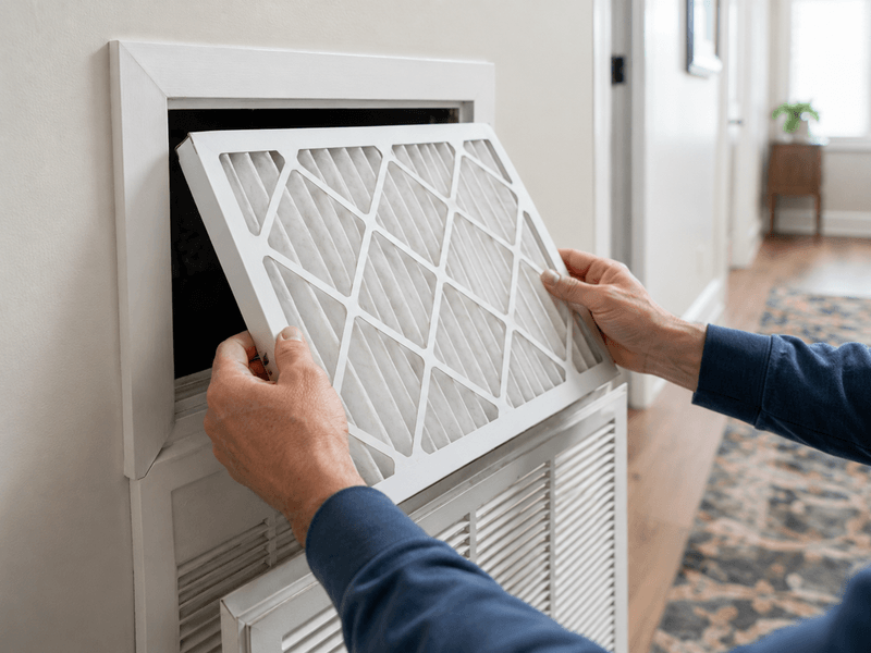
The EPA is direct: during smoky periods, upgrade to MERV 13 or higher. Most residential systems run one without trouble as long as it's replaced often enough, and EPA guidance is to swap it once it looks dark brown or black, which, in a heavy event, arrives long before the date you had circled.
For deeper detail, see our guides to the best MERV filter for wildfire smoke and MERV 13 vs. HEPA. The EPA has also tested DIY box-fan cleaners built around MERV 13 media.
Alabama's regulatory network is thinner than the Western states', so rural counties show sparse data. ADEM runs it alongside two local agencies, and coverage clusters around Birmingham, Huntsville, Mobile, and Montgomery because federal siting rules follow population.
So in Choctaw, Coosa, or Washington County, the nearest dot may be 40 miles off and reflecting conditions you don't share. Filterbuy sits in the same position at its Talladega County plant, which is why we treat the map as one input rather than the verdict. Out there, three things outrank map color: whether you smell smoke, whether visibility has dropped, and whether the AFC has a Fire Alert running. On the coast, our live Mobile, AL air quality map reads that metro hour by hour.
Alabama is the only state I write about where I can walk the question outside. When a guide tells a family in Sylacauga to prepare for fire season in May, it's describing California's year. By May our woods are green. The filter that mattered here went in three months earlier.
Michelle Wan, Brand Manager and Air Quality Writer, Filterbuy
More than four in ten Americans, about 152.3 million people, live where the air earns a failing grade for ozone or particle pollution. Short-term particle spikes, what smoke produces, are one of three graded measures.
Source: American Lung Association, State of the Air 2026, its 27th annual analysis of EPA monitoring data.
An average of 422,000 acres burn across Alabama each year, counting prescribed fire alongside wildfire, about ten times what wildfires alone consume.
Source: Encyclopedia of Alabama, published through Auburn University Outreach, reviewed 2025.
Running a high-efficiency filter with the HVAC fan set to continuous can cut indoor PM2.5 by roughly 50%.
Source: EPA, Reduce Your Smoke Exposure Indoors, part of the agency's wildfire smoke guidance for the public.
Check the fire-icon layer on the live map above, then confirm against the Alabama Forestry Commission's county fire totals. Satellite detections appear fast but can include prescribed burns and industrial heat, so the AFC record is authoritative.
Most likely a small or short-lived fire, a debris burn that never coincided with a satellite pass, or one burning under canopy. Alabama fires average around 10 acres and are often contained within hours, so trust your nose and the AFC totals over an empty layer.
Only partly. PM2.5 works in through gaps, recessed lighting, and the building envelope. Filtration removes what gets in, which is why EPA guidance pairs sealing with a MERV 13 filter and continuous fan operation.
Yes. Smoke travels thousands of miles at altitude and settles statewide, producing haze and elevated PM2.5 with no fire burning in Alabama. On the map, it appears as a wide gray plume with no icons beneath it; our national wildfire and smoke map shows the origin.
Pleated filters capture particles rather than gases, so the smell lingers after the haze clears. An activated carbon filter handles odor, but add one alongside a MERV 13 rather than instead of it, since carbon media filters particles at roughly the MERV 10 level.
Alabama's fire peaks sit on a calendar, which makes preparation cheap and improvisation expensive. Put a MERV 13 filter in the slot before late January and again in early October, keep a spare on the shelf, and move the fan to "On" the day the map turns orange. Find your exact size among 600+ American-made options, or put it on auto-delivery so the spare arrives first. Filterbuy makes every one at the Talladega plant.
Michelle Wan is Filterbuy's Brand Manager and Air Quality Writer, working with its U.S. manufacturing team across the Alabama and other domestic plants.
David Clark, a licensed HVAC Technician, reviewed this article for accuracy on airflow and system compatibility.
Filterbuy has built air filters in the U.S. for over a decade, including at Talladega, Alabama. This guide is not a substitute for advice from a qualified HVAC professional.
AQI (Air Quality Index): The EPA's color-coded 0–500 air pollution scale, driven by PM2.5 during smoke events.
PM2.5: Fine particulate matter 2.5 micrometers or smaller, the main health concern in smoke and small enough to reach deep lung tissue.
MERV: Minimum Efficiency Reporting Value, the 1–16 residential filter-efficiency scale. MERV 13 is the EPA's recommendation for smoke.
Subscribe to wildfire smoke alerts for Alabama to get a heads-up before the next event reaches your area.