
Bakersfield, CA Live Wildfire Smoke Map
Get Alerts For Wildfires In Your Area
The moment a wildfire starts near you, you'll get an instant alert and simple tips to reduce your smoke exposure.
What's In The Smoke
30xSmaller than a human hair
Fine enough to reach deep into the lungs. A MERV 13 is built to capture it.
How Far It Travels


It Doesn't Stay Local
Smoke rides the wind far downwind — you can get smoky air with no fire nearby.
What To Do During A Smoke Event
Simple steps to reduce indoor exposure.
- Stay In, Close UpShut windows and doors to keep smoke out.
- Set Fan To "On"Keeps air cycling through your filter, not just when heating or cooling.
- Recirculate AirSwitch off fresh-air intake so you're not pulling smoke in.
- Run A MERV 13Built to capture the fine PM2.5 in smoke.
- Add A PurifierExtra filtration for the room you use most.
- Wear an N95 if OutsideFits snug to block fine particles — a cloth mask won't.


The Best Air Filter For Wildfire Smoke
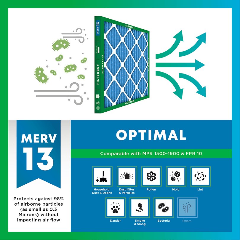
During smoke events, the EPA recommends upgrading to a MERV 13 filter — or the highest-rated filter your system can handle — to help reduce the fine particles smoke brings indoors. MERV 13 is the level most home HVAC systems can run while still capturing PM2.5, the fine particulate that makes up the bulk of wildfire smoke.
- Captures PM2.5 particles
- Blocks ash, soot, and smoke odor
- Keeps your indoor air safe—even when the outdoor air is dangerous
- Meets the EPA's recommended rating for filtering fine wildfire smoke particles.

Wildfire Smoke FAQs
Facts About Wildfires
Over 70,000 wildfires burn in the U.S. every year.
Wildfire smoke can travel 1,000+ miles, affecting states that aren't even near the blaze.
Exposure to wildfire smoke can worsen asthma, trigger heart issues, and lead to ER visits.
Indoor air can hold more fine particles during wildfire events unless it's properly filtered.
The EPA advises using MERV 13 filters or portable HEPA air cleaners during wildfire smoke events.
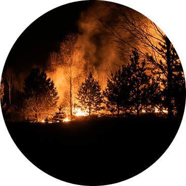
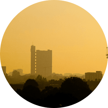
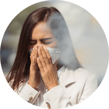
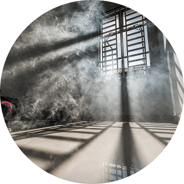
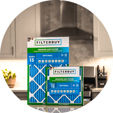
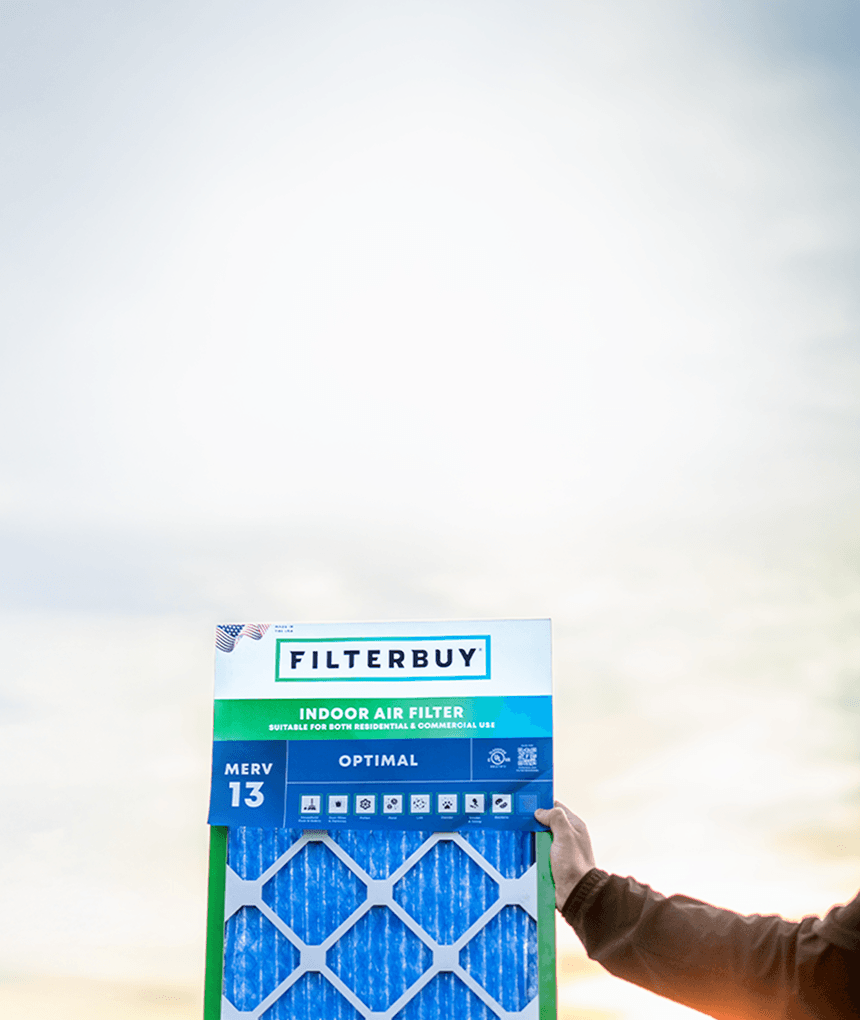
Don't Wait Until The Smoke's Inside.
Use the live wildfire smoke tracker and upgrade your air filters today to protect your lungs and your home.
Shop Filters For Smoke Protection
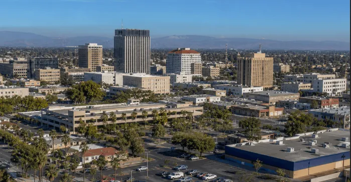
Current Live Wildfire and Smoke Map Bakersfield California Today From Filterbuy.com
The air in Bakersfield doesn't turn brown only from what's burning in Kern County. Most of the worst smoke days in the valley arrive from fires hundreds of miles away — the Gifford Fire in Santa Barbara County last August, the Madre Fire in San Luis Obispo County the month before, dry lightning lighting up the southern Sierra in July. The San Joaquin Valley bowl pulls that smoke in and holds it for days at a stretch. The live wildfire and smoke map for Bakersfield directly above this paragraph shows you exactly where the fires are right now, with real-time perimeters, satellite plume overlays, and PM2.5 monitor readings from across Kern County. After more than a decade of manufacturing air filters for families across California's fire-prone communities, the pattern is clear. The Bakersfield households that come through fire season in good shape stay vigilant on both sides of the windowpane. They check the smoke as it moves, and they run a MERV 13 filter on every HVAC cycle. The page below is the playbook.
TL; DR Quick Answers
Where can I see the Bakersfield smoke today and the current wildfire map?
The live interactive map at the top of this page shows Bakersfield smoke today, active fire perimeters from CAL FIRE, and PM2.5 readings from monitor stations across Kern County, pulled from the AirNow network in real time. When the AQI is above 100, run your HVAC fan continuously with a MERV 13 filter for wildfire smoke. Indoor air stays cleaner than outdoor air, often by a wide margin.
Top Takeaways
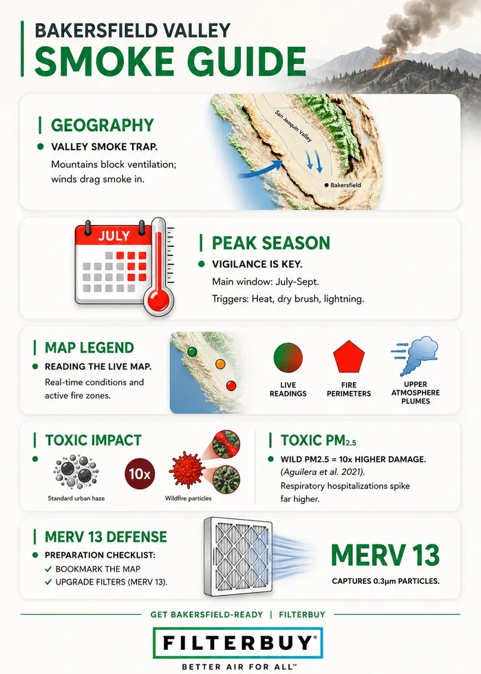
Bakersfield sits in the San Joaquin Valley basin, where mountain ranges trap wildfire smoke from fires hundreds of miles away.
Smoke from fires in Santa Barbara County, San Luis Obispo County, and the southern Sierra routinely reaches Kern County within hours of ignition.
Standard fiberglass filters are designed for lint. Wildfire smoke needs a MERV 13 pleated filter at a minimum.
The live map above pulls from the AirNow monitor network that state air agencies and emergency responders use during active events.
Children, seniors, asthma patients, and anyone with heart or lung disease should cut outdoor exposure when AQI passes 100.
Switching the HVAC fan from auto to continuous filters indoor air much faster, because the system runs through every cycle of the day instead of only when it's heating or cooling.
Why Bakersfield Sees Heavy Wildfire Smoke
Geography is doing most of the damage. Bakersfield sits at the southern end of the San Joaquin Valley, a 250-mile basin walled in by the Sierra Nevada to the east, the Tehachapis to the south, and the Coast Ranges to the west. When a wildfire ignites anywhere along those rims — Santa Barbara, San Luis Obispo, the southern Sierra — prevailing winds drag the smoke into the valley, and the inversion layers above the basin pin it down. Some days, the wind kicks up by afternoon and the haze lifts. Some days it stays through a week of mornings.
The valley already has bad days before any fire starts. Kern County is the most productive oil-producing county in California, and Bakersfield's air pollution from refinery emissions, diesel transport, and agricultural dust already puts the metro near the top of every annual PM2.5 ranking in the country. Stack wildfire smoke on top of that baseline, and the AQI can swing from moderate to hazardous between morning and lunch.
How to Read the Live Map Above
What you're looking at is real data, not a forecast. The map above pulls live readings from the AirNow Fire and Smoke Map, the same monitor network state air agencies and emergency responders work from during active events.
Each color-coded dot is a monitor station. Green is good air (AQI 0 to 50), yellow is moderate, orange is unhealthy for sensitive groups, red is unhealthy for everyone, purple is very unhealthy, and maroon is hazardous. Tap a station to pull the current reading and the trailing trend so you can see whether the air is improving, holding, or getting worse.
The polygons outlined in red mark the actual perimeters of fires burning right now. The blue-gray plume overlays come from satellite imagery and show smoke moving in the upper atmosphere. Plume directly overhead doesn't always mean ground-level air is bad, so trust the nearest monitor dot before you trust the plume.
Protecting Indoor Air During a Smoke Event
Once the smoke is here, the windows are the first decision. Close every window and exterior door. If your HVAC has an outdoor air intake or a fresh-air damper, switch it to recirculate so the system stops pulling smoke straight into the ductwork.
Then check the filter. The cheap fiberglass panels that ship with most furnaces will catch lint and the occasional moth, and that's about it. They do almost nothing for PM2.5, which is the fine particulate fraction of wildfire smoke and the part that does the actual respiratory damage. The best air filter for wildfire smoke in a residential HVAC system is a MERV 13 pleated filter. MERV 13 captures particles down to 0.3 microns, which covers most of what wildfire smoke is made of. When you call any HVAC supply house in Bakersfield and ask for an HVAC filter for smoke, MERV 13 is the rating you're asking for.
Run the fan continuously while the smoke is around, not on the auto cycle. Every pass of air through the filter pulls particles out of the room. The auto setting only runs the fan when the system is actively heating or cooling, which on a moderate August morning in Bakersfield might be barely at all. Plan to swap the filter more often during sustained smoke events. If you pull it after a week and the pleats are visibly gray, the filter has been doing its job and is starting to restrict airflow.
For households without central HVAC, or for a single dedicated clean air room where the kids or anyone with asthma can ride out the worst hours, run a portable air purifier for wildfire smoke sized to the room. The CADR rating on the unit should be at least two-thirds of the room's area in square feet. That's how to filter wildfire smoke from home effectively when the outside air is in the red.
When Wildfire Season Hits Bakersfield
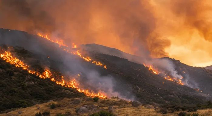
California's official fire season runs from May through October. Treat that as the floor, not the ceiling. Major California fires have ignited in February and burned into December over the last several years, and the question of when wildfire season starts in California has stopped having a clean answer.
For Bakersfield specifically, the bad months are July, August, and September. That stretch combines peak heat, dry brush across the southern Sierra, and dry lightning storms that have historically lit dozens of fires in a single 24-hour window. Any one of those can push smoke into the valley by the next morning. Red flag warnings from the National Weather Service and Spare the Air alerts from the San Joaquin Valley Air Pollution Control District are the signals that warrant attention before you smell anything.
When alerts go up, pair this page with the live Bakersfield AQI map for neighborhood-level pollutant readings across Oildale, East Bakersfield, Rosedale, and Northwest.
The Bakersfield homes I've watched come through bad smoke events in good shape weren't doing anything heroic. The windows were shut tight, and there was a MERV 13 filter on every HVAC cycle. The families who watch the smoke map every morning but couldn't tell you when their filter was last changed end up breathing the same air as the people who never check anything. Look at the map. Then look at your filter.
— Filterbuy Team
Essential Resources
The resources below come from federal agencies, public health organizations, and California air quality authorities that actively monitor wildfire smoke, air pollution, and fire activity across the state. Together, they provide real-time smoke tracking, health guidance, emergency alerts, and wildfire forecasting tools that can help you make informed decisions during smoke season.
The EPA's national interactive map for fire locations, satellite smoke plumes, and PM2.5 readings from every reporting monitor in the country. This is the source the live map at the top of this page is built on. Source: AirNow Fire and Smoke Map.
Federal guidance on protecting your household during wildfire smoke. Covers indoor air strategies, HVAC recommendations, and includes downloadable fact sheets on building a clean air room and managing ash after a fire. Source: EPA Wildland Fires and Smoke.
The CDC's plain-English guide to respiratory protection during a smoke event. Worth reading first if anyone in your house is a child, a senior, or has heart or lung disease. Source: CDC Wildfire Smoke and Your Health.
California's official tracker for every wildfire burning in the state right now. Cal Fire updates each incident with containment percentage, acres burned, and on-the-ground reporting throughout the day. Source: CAL FIRE Active Incidents.
Your local air agency for Kern County and the rest of the valley. Where to sign up for Spare the Air alerts, the RAAN real-time advisory network, and health advisories specific to Bakersfield neighborhoods. Source: San Joaquin Valley Air Pollution Control District Wildfire Resources.
The federal coordination center that publishes daily situation reports on every large fire in the country. Good for the national picture and the regional fire weather forecasts that drive ignition risk. Source: National Interagency Fire Center National Fire News.
Patient-facing health guidance from the ALA on managing wildfire smoke exposure if you have asthma, COPD, or another chronic lung condition. Includes practical advice for the day-to-day adjustments the smoke season requires. Source: American Lung Association Wildfires and Lung Health.
Supporting Statistics
You can't see wildfire smoke do its damage. The particles that hurt lung tissue are too small to register without instruments, even when the haze is thick enough to dim the sun. The three statistics below come from federal and peer-reviewed sources that measure what the eye cannot see.
CARB's wildfire emissions inventory identifies wildfire as a major source of particulate matter in California, with PM2.5 from wildfire smoke associated with hospital admissions, emergency room visits, bronchitis, asthma, COPD, premature death in people with chronic heart or lung disease, and reduced lung function growth in children. CARB's published inventory records 2020 as the worst fire year on California's books by acres burned.
Source: California Air Resources Board Wildfire Emissions Estimates.
A peer-reviewed Southern California study published in Nature Communications found that a 10 microgram per cubic meter increase in wildfire-specific PM2.5 was associated with respiratory hospitalization increases of 1.3 percent up to 10 percent, compared with 0.67 to 1.3 percent for the same increase in non-wildfire PM2.5. In plain terms, the particles in wildfire smoke do more damage per microgram than the particles in routine urban air pollution.
Source: Aguilera et al., Nature Communications (2021), NIH PMC.
NOAA cites a 2016 analysis finding that climate change has roughly doubled the number of large fires in the western United States between 1984 and 2015, with hotter, drier conditions extending fire seasons and increasing the area burned. A separate 2021 NOAA-supported study identified climate change as the main driver of increased fire weather across the western U.S.
Source: NOAA Wildfire Climate Connection.
Final Thoughts and Opinion: The Map Is Half the Job
A live map is one of the most useful tools a Bakersfield household has during fire season. It also doesn't filter anything. Watching the smoke is only half the job. The other half happens inside the house, where the windows stay shut and the MERV 13 filter cycles every time the system kicks on. The Bakersfield families who come through the worst smoke events of recent years intact have done both at once, every fire season. No version of this works if you only do one.
Next Steps
Bookmark this page and check the live map every morning during the California fire season. May through October is the baseline window. Major fires now ignite both earlier and later than that.
Pull your current HVAC filter and look at the MERV rating printed on the cardboard frame. If it's below MERV 13, replace it before the next smoke event reaches Bakersfield.
Pick a clean air room. A bedroom usually works best. Clear it out, make sure the HVAC supply vent isn't covered or blocked, and have a portable air purifier sized to the square footage on hand.
Sign up for free Spare the Air alerts from the San Joaquin Valley Air Pollution Control District. The system warns you when the air is about to turn, which is more useful than finding out at school drop-off.
During an active event, cross-check this map against neighborhood-level Bakersfield air quality readings. Local PM2.5 levels can vary noticeably across Northwest, Oildale, East Bakersfield, and Rosedale on the same day.
Frequently Asked Questions
Get Bakersfield-Ready Before the Next Smoke Event
We make MERV 13 pleated filters in every common residential size and ship them directly from our American factories to your door. If your current HVAC filter is below MERV 13, that's the single upgrade that matters most before the next Bakersfield smoke event. Find your size, get the right filter on hand, and have it installed before the next plume comes over the Tehachapis.