The moment a wildfire starts near you, you'll get an instant alert and simple tips to reduce your smoke exposure.
30xSmaller than a human hair
Fine enough to reach deep into the lungs. A MERV 13 is built to capture it.
It Doesn't Stay Local
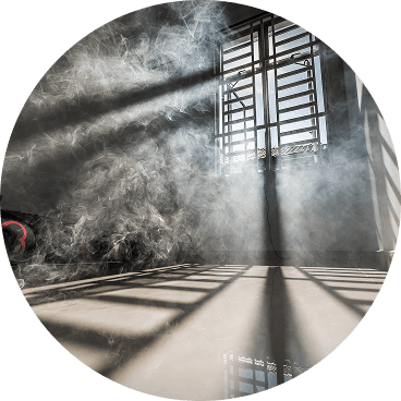
Smoke rides the wind far downwind — you can get smoky air with no fire nearby.
Simple steps to reduce indoor exposure.
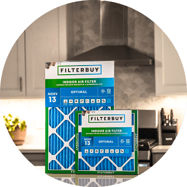
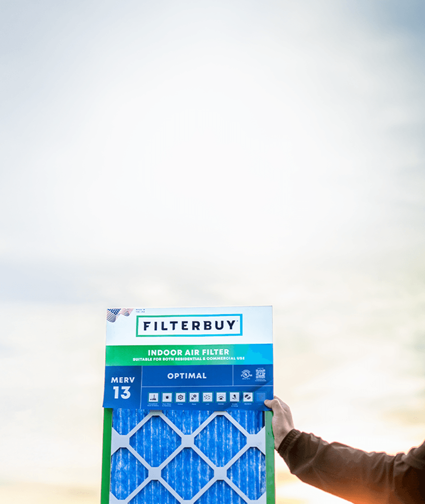
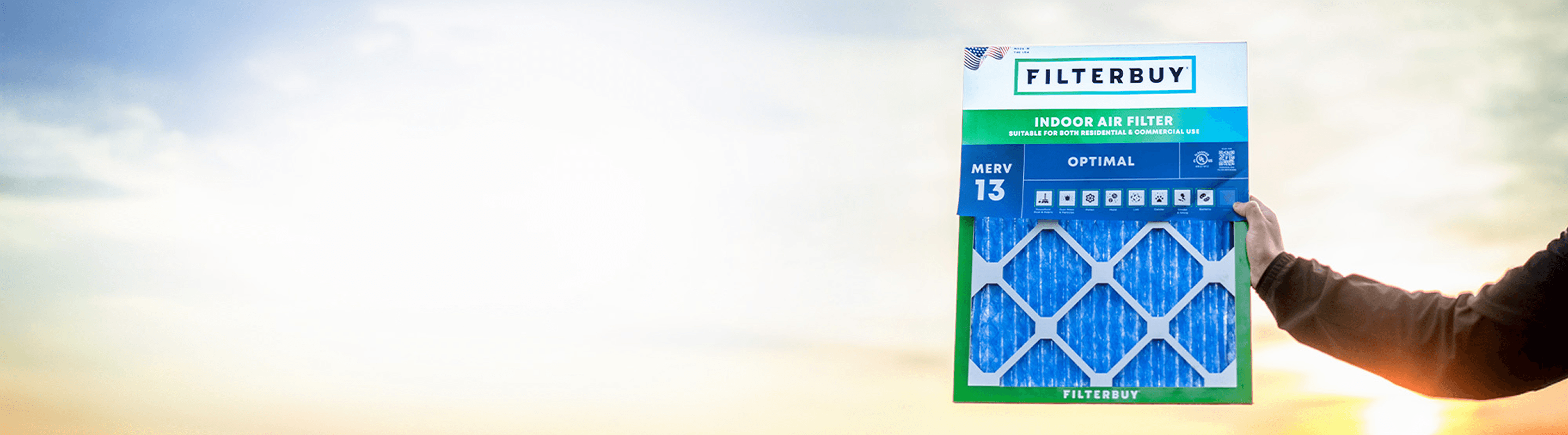
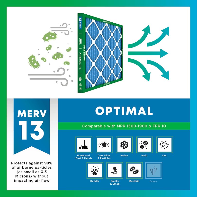
During smoke events, the EPA recommends upgrading to a MERV 13 filter — or the highest-rated filter your system can handle — to help reduce the fine particles smoke brings indoors. MERV 13 is the level most home HVAC systems can run while still capturing PM2.5, the fine particulate that makes up the bulk of wildfire smoke.
Over 70,000 wildfires burn in the U.S. every year.
Wildfire smoke can travel 1,000+ miles, affecting states that aren't even near the blaze.
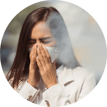
Exposure to wildfire smoke can worsen asthma, trigger heart issues, and lead to ER visits.
Indoor air can hold more fine particles during wildfire events unless it's properly filtered.
The EPA advises using MERV 13 filters or portable HEPA air cleaners during wildfire smoke events.
Use the live wildfire smoke tracker and upgrade your air filters today to protect your lungs and your home.
Shop Filters For Smoke Protection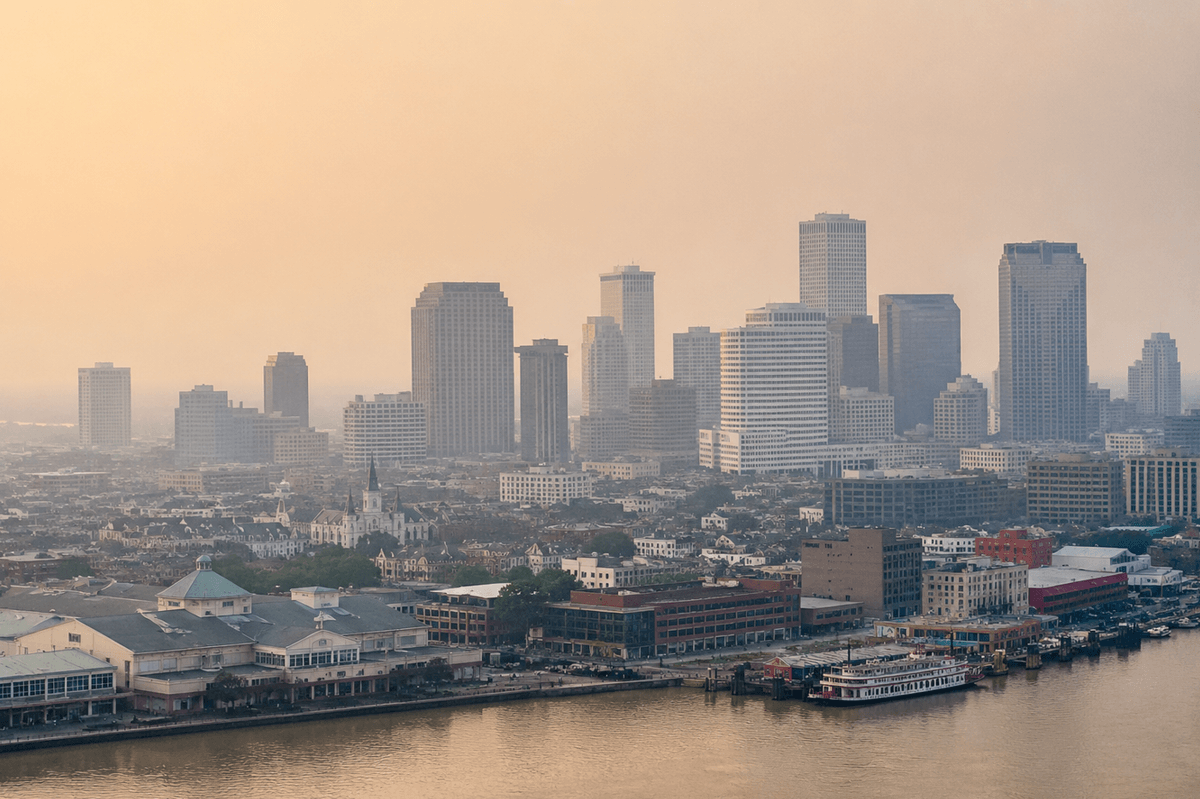
Author: Michelle Wan (https://filterbuy.com/author/michelle-wan/)
Reviewer: David Clark, Licensed HVAC Technician
Publish Date: July 28, 2026
Updated Date: July 28, 2026
Most New Orleans households find out about smoke the same way. A strange smell drifts through the Quarter, or an interstate closes without warning for zero visibility. By then, fine particulate matter has already been moving through your HVAC filter for hours. We built the live map at the top of this page to close that gap. It tracks active fires and satellite hotspots across the Gulf South, shows where plumes are drifting, and reads out the current AQI for your ZIP code. After manufacturing filters for Gulf South homes for years, Filterbuy has learned smoke here rarely comes from a distant forest fire. More often it comes from something closer and stranger. A smoldering marsh.
Current status. Check the live map above for real-time AQI across the metro.
Where the smoke comes from. Mostly local, from marsh fires and cane burns, not a distant wildfire.
The superfog risk. Marsh smoke plus river humidity can drop visibility below ten feet in minutes.
The action threshold. AQI 101 means sensitive groups stay in. AQI 151 means everyone stays in.
The right filter. MERV 13 in the HVAC, plus a portable HEPA cleaner in one clean room.
Bottom line. Match the AQI reading above to the indoor protection table on this page, and keep a Filterbuy MERV 13 filter on hand year-round. The fastest-moving hazard here is not the fire itself. It is the superfog that forms when marsh smoke mixes with river humidity.
Local sources dominate. Marsh fires and cane burns cause more New Orleans smoke than distant wildfires.
Fall is the riskiest stretch. Cane burns, hurricane debris, and drought-driven marsh fire risk overlap.
MERV 13 is the baseline here, not an upgrade. A standard filter lets fine smoke through.
Cross-check two sources. For better preparation.
Federal monitoring feeds power the live map above, refreshed throughout the day. Red markers show active fire detections, gray and brown shading shows drifting smoke, and the color overlay reflects the live AQI on the same scale the EPA uses nationwide. Watch for smaller, scattered hotspots near Bayou Sauvage rather than the large fire perimeters typical of western states. Treat a fog advisory near a marsh fire as a driving hazard first, since superfog can drop visibility faster than the map updates.
One quirk worth knowing: satellite detection favors open flame. A marsh fire smoldering underground in peat can run for weeks with a far fainter heat signature than a forest fire, so the fire markers may lag even while the AQI is already climbing. When the two disagree, trust the AQI number.
New Orleans sits inside a wetland system that periodically catches fire on its own. Bayou Sauvage National Wildlife Refuge, a marsh preserve on the city's eastern edge, produced two major smoke events in recent memory. A 2011 marsh fire sent a visible plume over the metro for days. In 2023, smoke from a Bayou Sauvage-area marsh fire combined with dense fog to create a superfog that caused a fatal pileup on Interstate 55 near Manchac, killing seven people. Marsh fires burn peat below the surface, making them slow and hard to extinguish with standard equipment.
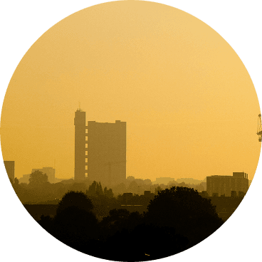
A second local source arrives every fall. Louisiana's sugarcane industry, concentrated in the Acadiana region west of the city, burns harvested fields under the state's agricultural burning rules to clear excess plant material. The practice runs roughly September through January, pushing a lower-lying, yellowish-gray haze into the metro that sits closer to the ground than a distant wildfire plume.
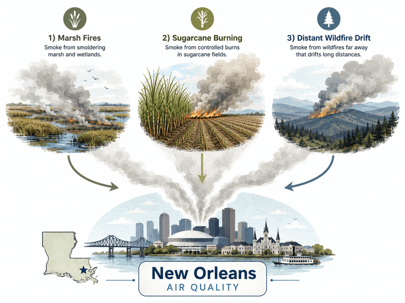
Distant sources matter too, just less often than in northern cities. Wildfire smoke from the western U.S. or southern Canada can reach Louisiana on the right upper-level pattern, and hurricane aftermath sometimes brings its own debris burning and haze. A generic wildfire map, read without local context, can miss what is happening outside your door.
Lay the four sources on this page against a calendar and a pattern emerges that most wildfire coverage misses, since it assumes a western fire season. Marsh fire risk tracks drought, not season, climbing late summer into fall as wetland peat dries out enough to ignite and smolder for weeks. Sugarcane burning runs roughly September through January. Hurricane season, June through November, occasionally adds a short burst of storm-debris burning once a system clears. Distant wildfire drift is the least predictable and can arrive almost any time conditions align. Fall, not summer, is New Orleans' highest-risk stretch, the only point where marsh fire drought risk, cane burning, and late hurricane season overlap.
Superfog is a driving emergency before it is an air quality one, and it moves faster than most people expect. Slow down before visibility feels dangerous, switch to low-beam headlights since high beams reflect off smoke and worsen glare, and open a longer following distance. If visibility drops to near zero, do not stop in a travel lane. Take the nearest exit, or move as far onto the shoulder as possible with hazards on. The 2023 Manchac pileup happened in part because vehicles already stopped in the travel lane were struck from behind. Treat a fog advisory near a marsh fire report as a reason to delay travel if you can.
The right response scales with the AQI reading, not with how the sky looks outside.
AQI scale follows EPA guidance. Check the live map above for current readings.
The "switch the fan to On" advice above assumes a central ducted system. Many New Orleans shotgun houses and camelbacks run window units or ductless mini-splits instead, without a whole-home recirculation mode. If that describes your setup, skip the fan step and lean on a portable HEPA cleaner instead. Learn how far wildfire and marsh smoke can travel and still affect indoor air before the next event.
After manufacturing filters for over a decade and serving more than two million households, we have watched New Orleans deal with a kind of smoke risk most of the country never sees. Customers near Bayou Sauvage running MERV 13 tell us the 2023 marsh fire barely changed their indoor air. Those running a basic MERV 8 filter noticed the difference within a day. We built the live map above to give New Orleans families the same head start, whether the smoke is coming from a marsh, a cane field, or a thousand miles away.
David Heacock, Founder and CEO, Filterbuy
Bookmark these seven Filterbuy-vetted resources before the next event.
1. The federal real-time fire and smoke overlay from the EPA, Forest Service, and NASA. Cross-check it against the map above.
Source: AirNow Fire and Smoke Map
2. Federal guidance on clean rooms and HVAC settings during a smoke event.
Source: EPA Wildfires and Indoor Air Quality
3. The local weather office's fire outlook and air quality forecast pages.
Source: National Weather Service New Orleans/Baton Rouge
4. Louisiana's monitoring network, with current AQI readings for the New Orleans area.
Source: Louisiana Department of Environmental Quality Current Monitoring Data
5. The annual report grading parishes on ozone and PM2.5 exposure year over year.
Source: American Lung Association State of the Air Report
6. Daily situation reports on national wildland fire activity and the National Preparedness Level.
Source: National Interagency Fire Center Statistics
7. Patient-facing guidance on how wildfire and agricultural smoke affects asthma.
Source: Asthma and Allergy Foundation of America, Wildfires and How They Affect Air Quality and Asthma
1. A 10 microgram per cubic meter rise in wildfire-specific PM2.5 raises respiratory hospitalizations 1.3 to 10 percent, versus 0.67 to 1.3 percent for other PM2.5.
Why this matters: marsh fire and cane-burn smoke carries the same particulate risk as forest wildfire smoke.
2. NASA satellite imagery has documented recurring haze across Gulf Coast states tied to Louisiana field burning, including fires that flared after Hurricane Ivan.
Source: NASA Earth Observatory, Fires and Haze Along U.S. Gulf Coast
Why this matters: local haze is tied to land and farming practices, not just a single wildfire.
3. Asthma-associated emergency department visits nationwide ran 17 percent higher than expected during 19 wildfire smoke days in 2023.
Source: CDC MMWR, Asthma-Associated Emergency Department Visits During the Canadian Wildfire Smoke Episodes
Why this matters: New Orleans households with asthma face that same risk during marsh fire and cane-burn events.
New Orleans has spent years improving its emergency response to flooding and hurricanes. Smoke and superfog get far less attention, even though a marsh fire on the city's eastern edge has already caused fatalities on a Louisiana interstate. Most homes here still run a basic filter chosen for humidity and dust, not wildfire-grade particulate matter. A year-round Filterbuy MERV 13 baseline closes that gap.
Probably not within the metro. The live map above shows fire detections and smoke plumes across the Gulf South, though local smoke usually starts from a marsh fire or cane burn.
Smoke from a marsh fire mixing with humid river air. It can drop visibility below ten feet within minutes, making it a driving emergency first.
Multiple times each fall during the Acadiana harvest, roughly September through January.
MERV 13 is the standard recommendation for capturing PM2.5 in most home systems. Confirm your HVAC can handle MERV 13 airflow, since older blowers in historic New Orleans homes cannot.
Yes. Marsh peat dries out and ignites more easily during drought, which lines up with both the 2011 and 2023 marsh fire events. Watch regional drought conditions in late summer as an early signal for marsh fire and superfog risk.
Smoke from a smoldering marsh does not wait for shipping. Filterbuy manufactures over 600 filter sizes in the United States, including the MERV 13 fit for most New Orleans homes.
Shop MERV 13 Filters Sized for New Orleans Homes
AQI (Air Quality Index). The EPA's 0 to 500 scale for air quality.
PM2.5. Fine particulate matter 2.5 microns or smaller, small enough to reach deep into the lungs.
MERV Rating. A 1 to 16 scale for HVAC filter capture efficiency.
Superfog. A dense, fast-forming mix of fog and smoke that can drop visibility below ten feet.
Marsh Fire. A fire burning in wetland peat and soil, often smoldering underground for weeks.
Sugarcane Harvest Burning. Burning cane fields after harvest in Acadiana each fall.
Subscribe to wildfire smoke alerts for New Orleans, LA, to get a heads-up before the next event reaches your area.